
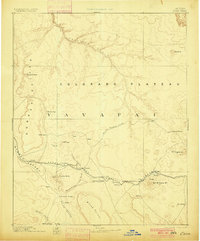
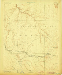
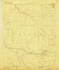
1891 Map of Chino
USGS Topo · Published 1891About this map
The Beale Wagon road traces a historic path across the Colorado Plateau, serving as a vital predecessor to the modern transportation corridors in this high-desert region. At the time of this 1891 survey, the Atlantic and Pacific RR had established a firm presence, with several stops including Crookton, Pineveta, and Ash Fork providing essential nodes for commerce and travel. The terrain is marked by prominent volcanic and geologic landmarks such as Bill Williams Mt, Mt Sitgreaves, and the striking Aubrey Cliffs to the west.
Find a feature on this map
35 named features on this map. Tap any name to fly to it.
Don’t see what you’re looking for? This feature index may not catch every label — zoom into the map to look around manually.
Map Details
Editions of this 1891 Chino Map
4 editions found
Other maps of this area

1886 · Diamond Creek
USGS Topo · 1:250,000

1886 · San Francisco Mtns
USGS Topo · 1:250,000

1886 · Mt. Trumbull
USGS Topo · 1:250,000

1886 · Chino
USGS Topo · 1:250,000

1886 · Echo Cliffs
USGS Topo · 1:250,000

1886 · Kaibab
USGS Topo · 1:250,000

1887 · Verde
USGS Topo · 1:250,000

1887 · Prescott
USGS Topo · 1:250,000

1891 · San Francisco Mtns
USGS Topo · 1:250,000

1891 · Echo Cliffs
USGS Topo · 1:250,000