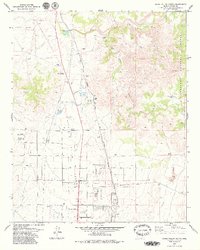
1979 Map of Chino Valley North
USGS Topo · Published 1979About this map
Del Rio Springs and the headwaters of the Verde River anchor this topographic study of northern Arizona, where the lush riparian corridor meets the arid expanse of the Little Chino Valley. The landscape is a composite of ancient and modern activity, featuring several sites of Indian Ruins alongside the ranching operations at Del Rio Ranch. Transportation history is clearly legible through the tracks of the Atchison Topeka and Santa Fe railroad and a nearby Old Railroad Grade, showing how infrastructure followed the water. Toward the south, the growing community of Chino Valley emerges with its Corporate Boundary, Filtration Plant, and a local Landing Strip. The eastern margin transitions into the protected highlands of the Prescott National Forest, while Sullivan Lake marks a prominent local water feature in the northwest.
Find a feature on this map
20 named features on this map. Tap any name to fly to it.
Don’t see what you’re looking for? This feature index may not catch every label — zoom into the map to look around manually.
Map Details
Editions of this 1979 Chino Valley North Map
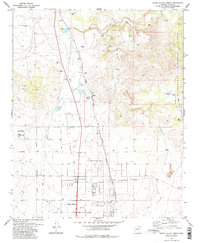
2 editions found
Other maps of this area

1887 · Prescott
USGS Topo · 1:250,000

1892 · Prescott
USGS Topo · 1:250,000

1905 · Jerome
USGS Topo · 1:125,000

1947 · Simmons
USGS Topo · 1:62,500

1947 · Iron Springs
USGS Topo · 1:62,500

1947 · Paulden
USGS Topo · 1:62,500

1947 · Prescott
USGS Topo · 1:62,500

1948 · Iron Springs
USGS Topo · 1:63,360

1948 · Prescott
USGS Topo · 1:62,500

1948 · Simmons
USGS Topo · 1:63,360