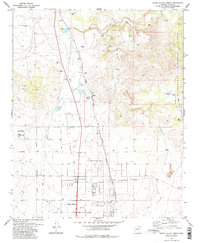
1979 Map of Chino Valley North
USGS Topo · Published 1983About this map
Little Chino Valley forms the geographic heart of this 1970s landscape, where the high desert terrain meets the headwaters of the Verde River. The map captures a critical junction of transportation and ranching history, dominated by the Atchison Topeka and Santa Fe line and the presence of the Del Rio Ranch. Human history is layered across the topography, ranging from prehistoric Indian Ruins near the river to the more modern Landing Strip and Trailer Park at Chino Valley.
Find a feature on this map
23 named features on this map. Tap any name to fly to it.
Don’t see what you’re looking for? This feature index may not catch every label — zoom into the map to look around manually.
Map Details
Editions of this 1979 Chino Valley North Map
2 editions found
Other maps of this area

1887 · Prescott
USGS Topo · 1:250,000

1892 · Prescott
USGS Topo · 1:250,000

1905 · Jerome
USGS Topo · 1:125,000

1947 · Simmons
USGS Topo · 1:62,500

1947 · Iron Springs
USGS Topo · 1:62,500

1947 · Paulden
USGS Topo · 1:62,500

1947 · Prescott
USGS Topo · 1:62,500

1948 · Iron Springs
USGS Topo · 1:63,360

1948 · Prescott
USGS Topo · 1:62,500

1948 · Simmons
USGS Topo · 1:63,360