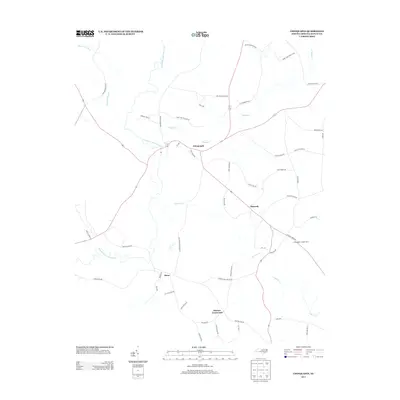
2013 Map of Chinquapin
USGS Topo · Published 2013About this map
The Northeast Cape Fear River meanders through Duplin County, defining the drainage patterns and transportation corridors of this rural landscape. The settlement of Chinquapin serves as a central hub, where routes such as Old Chinquapin Rd and Jimmy Tate Williams Rd converge near the banks of Muddy Cr. The map captures a detailed network of family-named roads, including Arliss Albertson Rd and Joe Hop Williams Rd, which reflect the area's agricultural genealogy. To the south, Sholars Crossroads and the settlement of Sloan anchor the local road network, while the Chinquapin Lookout Tower stands as a distinctive landmark near Cypress Cr. This survey documents the persistent rural character of the North Carolina coastal plain, showing how tributaries like Stocking Head Cr shape the movement and settlement patterns between small communities like Maready.
Find a feature on this map
49 named features on this map. Tap any name to fly to it.
Don’t see what you’re looking for? This feature index may not catch every label — zoom into the map to look around manually.
Map Details
Editions of this 2013 Chinquapin Map
This is the sole edition of this map. No revisions or reprints were ever made.
Other maps of this area
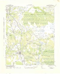
1942 · Burgaw
USGS Topo · 1:62,500
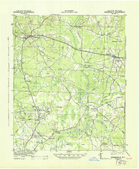
1943 · Kenansville
USGS Topo · 1:62,500
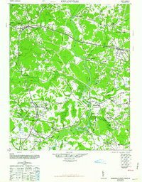
1948 · Kenansville
USGS Topo · 1:62,500
1948 · Maple Hill
USGS Topo · 1:62,500
1948 · Richlands
USGS Topo · 1:62,500
1953 · Beaufort
USGS Topo · 1:250,000
1954 · Beaufort
USGS Topo · 1:250,000
1965 · Richlands
USGS Topo · 1:62,500
1972 · Beaufort
USGS Topo · 1:250,000
1980 · Richlands
USGS Topo · 1:62,500