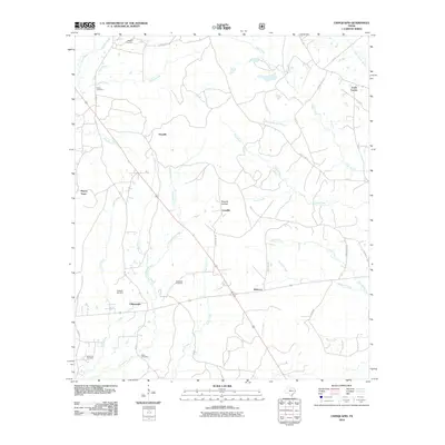
2010 Map of Chinquapin
USGS Topo · Published 2010About this map
The small community of Chinquapin and the crossroads at Rebecca anchor this landscape in San Augustine County, where the topography is defined by a dense network of creek branches. The map highlights a rural infrastructure tied closely to ancestral sites, evidenced by the numerous family and community burial grounds including Redlands Cemetery, Sheffield Cemetery, and Dickerson Cemetery. These locations, along with Head Cemetery and Parker Cemetery, provide essential spatial data for genealogists tracing local families in the East Texas piney woods region.
Find a feature on this map
43 named features on this map. Tap any name to fly to it.
Don’t see what you’re looking for? This feature index may not catch every label — zoom into the map to look around manually.
Map Details
Editions of this 2010 Chinquapin Map
This is the sole edition of this map. No revisions or reprints were ever made.
Other maps of this area

1944 · Patroon
USGS Topo · 1:62,500

1953 · Alexandria
USGS Topo · 1:250,000

1953 · Palestine
USGS Topo · 1:250,000

1955 · Alexandria
USGS Topo · 1:250,000

1956 · Patroon
USGS Topo · 1:62,500

1957 · Palestine
USGS Topo · 1:250,000

1958 · Hemphill
USGS Topo · 1:62,500

1958 · San Augustine
USGS Topo · 1:62,500

1958 · Bronson
USGS Topo · 1:62,500

1984 · Norwood
USGS Topo · 1:24,000