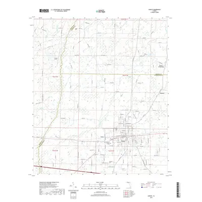
2018 Map of Chipley
USGS Topo · Published 2018About this map
The town of Chipley serves as the central hub for this portion of the Florida Panhandle, situated near the intersection of Washington, Jackson, and Holmes Counties. This 2018 survey illustrates the modern layout of the community, featuring the Florida Panhandle Technical College and the local street grid extending north from the regional rail corridor. The surrounding landscape is a complex network of wetlands and small drainages, including the headwaters of Alligator Cr and numerous bays such as Hurricane Bay and Rattlesnake Bay.
Find a feature on this map
115 named features on this map. Tap any name to fly to it.
Don’t see what you’re looking for? This feature index may not catch every label — zoom into the map to look around manually.
Map Details
Editions of this 2018 Chipley Map
This is the sole edition of this map. No revisions or reprints were ever made.
Other maps of this area
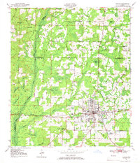
1950 · Chipley
USGS Topo · 1:24,000
1950 · Wausau
USGS Topo · 1:24,000
1950 · Esto
USGS Topo · 1:24,000
1950 · Poplar Head
USGS Topo · 1:24,000
1951 · Graceville
USGS Topo · 1:24,000
1951 · Esto
USGS Topo · 1:24,000
1951 · Chipley
USGS Topo · 1:24,000
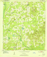
1951 · Wausau
USGS Topo · 1:24,000
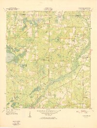
1951 · Poplar Head
USGS Topo · 1:24,000
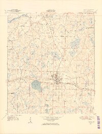
1951 · Bonifay
USGS Topo · 1:24,000