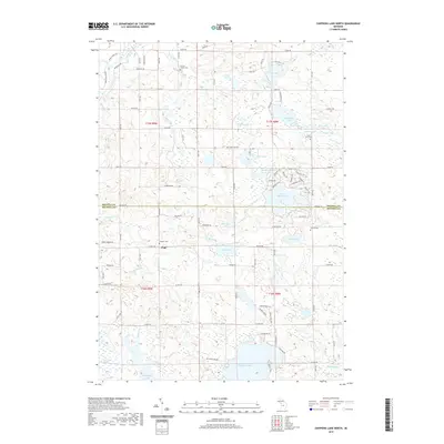
2019 Map of Chippewa Lake North
USGS Topo · Published 2019About this map
Pogy sits near the center of this landscape, marking a localized settlement point within the lake-rich terrain of the Osceola and Mecosta county line. The geography is defined by a dense network of glacial water bodies, from the prominent Chippewa Lake in the south to the developed shoreline of Lake Miramichi, where a concentrated grid of streets like Mohican Trl and Allegheny Trl indicates a significant lakeside community. To the west, the Haymarsh Lakes and Featherbed Marsh represent a more wild, hydrologically complex area dominated by wetlands and drainage through Pogy Cr and Blodgett Cr.
Find a feature on this map
79 named features on this map. Tap any name to fly to it.
Don’t see what you’re looking for? This feature index may not catch every label — zoom into the map to look around manually.
Map Details
Editions of this 2019 Chippewa Lake North Map
This is the sole edition of this map. No revisions or reprints were ever made.
Other maps of this area

1954 · Midland
USGS Topo · 1:250,000

1958 · Midland
USGS Topo · 1:250,000

1958 · Big Rapids
USGS Topo · 1:62,500

1959 · Midland
USGS Topo · 1:250,000

1959 · Lake
USGS Topo · 1:62,500

1959 · Evart
USGS Topo · 1:62,500

1964 · Mecosta NW
USGS Topo · 1:24,000

1966 · Midland
USGS Topo · 1:250,000

1976 · Evart SW
USGS Topo · 1:24,000
1976 · Big Rapids NW
USGS Topo · 1:24,000