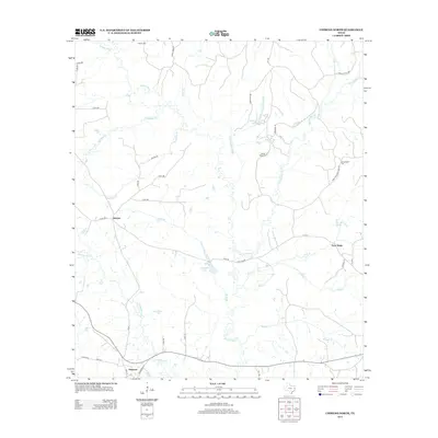
2013 Map of Chireno North
USGS Topo · Published 2013About this map
Attoyac River and its dense network of tributaries, including Tupelo Gum Slough and Big Iron Ore Cr, dominate this East Texas landscape in Nacogdoches County. Small settlements and local landmarks reveal the community's roots, with Chireno situated at the southern edge where Main St and Gingerbread Ln meet. The area is dotted with historic burial sites such as Holmes Cem, Spring Ridge Cem, and Gethsemane Cem, providing essential markers for genealogical research.
Find a feature on this map
44 named features on this map. Tap any name to fly to it.
Don’t see what you’re looking for? This feature index may not catch every label — zoom into the map to look around manually.
Map Details
Editions of this 2013 Chireno North Map
This is the sole edition of this map. No revisions or reprints were ever made.
Other maps of this area

1953 · Palestine
USGS Topo · 1:250,000

1957 · Palestine
USGS Topo · 1:250,000

1958 · Broaddus
USGS Topo · 1:62,500

1958 · San Augustine
USGS Topo · 1:62,500

1958 · Martinsville
USGS Topo · 1:62,500

1958 · Bronson
USGS Topo · 1:62,500

1984 · Norwood
USGS Topo · 1:24,000
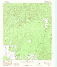
1984 · Etoile North
USGS Topo · 1:24,000
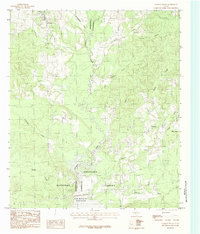
1984 · Chireno South
USGS Topo · 1:24,000

1984 · Palestine
USGS Topo · 1:250,000