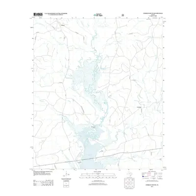
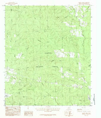
2013 Map of Chireno South
USGS Topo · Published 2013About this map
Sam Rayburn Reservoir dominates the lower half of this landscape, its expansive waters fed by the Attoyac River and numerous tributaries such as Lick Cr and Spears Cr. The map captures a mix of developed timberland and riparian bottomlands between the small settlements of Chireno in the north and Goodwin to the east. Local history is anchored by several family and community burial sites, including Woolam Cem, Davis Cem, and Saint John Cem, reflecting the early rural settlement patterns of Nacogdoches County. Significant infrastructure connects these communities, notably the Cottingham Bridge crossing and the intersection of FM 95 and FM 1277. The presence of Bullock Springs and named creek branches like Peterson Br highlights the hydrological network that has shaped land use in this part of East Texas.
Find a feature on this map
43 named features on this map. Tap any name to fly to it.
Don’t see what you’re looking for? This feature index may not catch every label — zoom into the map to look around manually.
Map Details
Editions of this 2013 Chireno South Map
This is the sole edition of this map. No revisions or reprints were ever made.
Other maps of this area

1953 · Palestine
USGS Topo · 1:250,000

1957 · Palestine
USGS Topo · 1:250,000
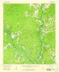
1958 · Broaddus
USGS Topo · 1:62,500
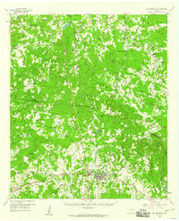
1958 · San Augustine
USGS Topo · 1:62,500
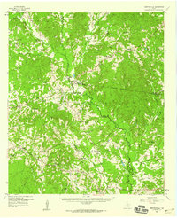
1958 · Martinsville
USGS Topo · 1:62,500
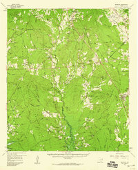
1958 · Bronson
USGS Topo · 1:62,500
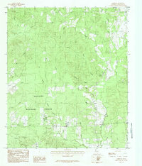
1984 · Norwood
USGS Topo · 1:24,000
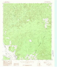
1984 · Etoile North
USGS Topo · 1:24,000
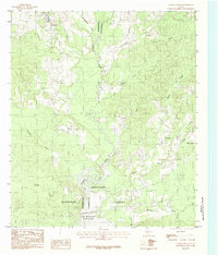
1984 · Chireno South
USGS Topo · 1:24,000
1984 · Harvey Creek
USGS Topo · 1:24,000