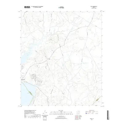
2019 Map of Chita
USGS Topo · Published 2019About this map
The settlement of Sebastopol sits on the eastern shore of Lake Livingston at the junction of FM 356, representing a key access point to the reservoir in Trinity County. To the northeast, the community of Chita serves as a central hub for a network of rural roads, including FM 355 and Thorton Rd. This landscape is defined by its complex drainage systems, where numerous creeks like Magnolia Cr, Fountain Cr, and Sulphur Cr carve through the East Texas terrain toward the lake. Local genealogy and history are preserved at sites such as Chita Cem Ln and along Carlisle Chita Cemetery Rd. The map also details the winding paths of Old Onalaska Rd and S Canney Rd, tracing the residential and agricultural patterns that have persisted near the San Jacinto and Polk County lines.
Find a feature on this map
50 named features on this map. Tap any name to fly to it.
Don’t see what you’re looking for? This feature index may not catch every label — zoom into the map to look around manually.
Map Details
Editions of this 2019 Chita Map
This is the sole edition of this map. No revisions or reprints were ever made.
Other maps of this area

1953 · Palestine
USGS Topo · 1:250,000

1954 · Beaumont
USGS Topo · 1:250,000

1957 · Beaumont
USGS Topo · 1:250,000

1957 · Palestine
USGS Topo · 1:250,000

1960 · Colita
USGS Topo · 1:24,000

1960 · Trinity East
USGS Topo · 1:24,000

1960 · Carlisle
USGS Topo · 1:24,000

1961 · Staley
USGS Topo · 1:24,000

1961 · Onalaska
USGS Topo · 1:24,000

1962 · Glendale
USGS Topo · 1:24,000