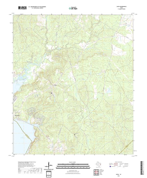
2022 Map of Chita
USGS Topo · Published 2022About this map
Chita serves as the focal point of this landscape in eastern Texas, situated near the northeastern reaches of Lake Livingston. The area is defined by a dense network of tributaries including Brushy Cr, Fountain Cr, and Magnolia Cr, which carve through the terrain toward the Trinity River basin. In the south, the settlement of Sebastopol overlooks the lake, marking a point where residential roads like Rolling Creek Dr and Settlers Way S begin to terrace away from the shoreline. Historical continuity is anchored by local burial grounds, specifically Chita Cem near the town center and Hickman Cem further south along Carlisle Rd. The map illustrates a rural economy shifting toward lakeside recreation and residential development, evidenced by the numerous small lanes and gated drives branching off from FM 355 and FM 356.
Find a feature on this map
51 named features on this map. Tap any name to fly to it.
Don’t see what you’re looking for? This feature index may not catch every label — zoom into the map to look around manually.
Map Details
Editions of this 2022 Chita Map
This is the sole edition of this map. No revisions or reprints were ever made.
Other maps of this area

1953 · Palestine
USGS Topo · 1:250,000

1954 · Beaumont
USGS Topo · 1:250,000

1957 · Beaumont
USGS Topo · 1:250,000

1957 · Palestine
USGS Topo · 1:250,000

1960 · Colita
USGS Topo · 1:24,000

1960 · Trinity East
USGS Topo · 1:24,000

1960 · Carlisle
USGS Topo · 1:24,000

1961 · Staley
USGS Topo · 1:24,000

1961 · Onalaska
USGS Topo · 1:24,000

1962 · Glendale
USGS Topo · 1:24,000