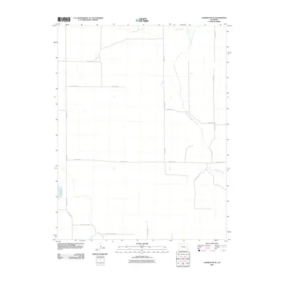
2010 Map of Chivington SE
USGS Topo · Published 2010About this map
Big Sandy Creek winds through this arid section of Prowers County, defining the drainage patterns of a landscape marked by agricultural infrastructure. In the southwest, the Neeskah Reservoir stands as a primary water source, supported by the engineering of the Pawnee Canal and Comanche Canal. These irrigation features, along with Rush Creek to the north, reveal the vital role of water management in eastern Colorado. The map is dominated by a precise section-line road grid, including County Road C and County Road VV, which provided access to the expansive agricultural tracts that have sustained the region into the twenty-first century. The absence of dense town sites highlights the rural, open-range character of the territory during this period.
Find a feature on this map
16 named features on this map. Tap any name to fly to it.
Don’t see what you’re looking for? This feature index may not catch every label — zoom into the map to look around manually.
Map Details
Editions of this 2010 Chivington SE Map
This is the sole edition of this map. No revisions or reprints were ever made.
Other maps of this area

1890 · Granada
USGS Topo · 1:125,000

1892 · Lamar
USGS Topo · 1:125,000

1892 · Granada
USGS Topo · 1:125,000

1894 · Granada
USGS Topo · 1:125,000

1954 · Lamar
USGS Topo · 1:250,000

1955 · Granada NW
USGS Topo · 1:24,000

1955 · May Valley
USGS Topo · 1:24,000

1955 · Wiley
USGS Topo · 1:24,000

1958 · Lamar
USGS Topo · 1:250,000

1967 · Neenoshe Reservoir
USGS Topo · 1:24,000