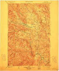
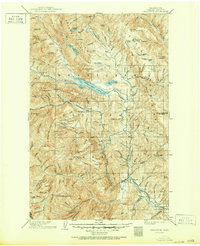
1904 Map of Chiwaukum
USGS Topo · Published 1913About this map
Great Northern R.R. tracks navigate the steep river corridors of Chelan County in this early century survey, providing the primary lifeline for mountain settlements. The railroad follows the narrow shelf of Nason Creek before descending through the formidable Tumwater Canyon toward Leavenworth. At this stage of development, small outposts like Merritt and Chiwaukum serve as essential stops along the transit line, nestled between the high peaks of the Wenatchee National Forest and the Entiat National Forest.
Find a feature on this map
63 named features on this map. Tap any name to fly to it.
Don’t see what you’re looking for? This feature index may not catch every label — zoom into the map to look around manually.
Map Details
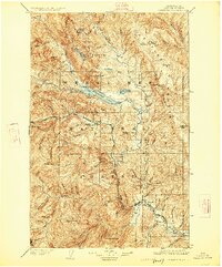
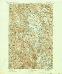
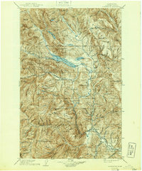
Editions of this 1904 Chiwaukum Map
6 editions found

Other maps of this area

1897 · Mount Stuart
USGS Topo · 1:125,000

1899 · Glacier Peak
USGS Topo · 1:125,000

1899 · Methow
USGS Topo · 1:125,000

1901 · Glacier Peak
USGS Topo · 1:125,000

1901 · Chelan
USGS Topo · 1:125,000

1901 · Methow
USGS Topo · 1:125,000

1901 · Chiwaukum
USGS Topo · 1:125,000

1901 · Snoqualmie Pass
USGS Topo · 1:125,000

1902 · Skykomish
USGS Topo · 1:125,000

1902 · Mount Stuart
USGS Topo · 1:125,000