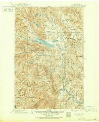
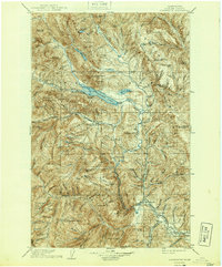
1904 Map of Chiwaukum
USGS Topo · Published 1950About this map
The Great Northern Railway anchors the development of this mountain corridor at the turn of the century, providing the vital link between the early settlements of Leavenworth and Peshastin and the high passes of the Wenatchee Mountains. Following the survey of 1900-01, the map highlights the critical infrastructure of the era, including the Nason Creek Dardanelles PO and the rail-dependent hamlets of Winton and Merritt. The geography is defined by the massive drainage systems of the Chiwawa River and the Little Wenatchee River, which converge at Wenatchee Lake. This map records the landscape just as the railroad was being finalized through the area, marking a transition from a wilderness of isolated lookout stations like those on Dirtyface Peak and Rock Mtn to a more permanent network of mountain valley townships such as Plain.
Find a feature on this map
168 named features on this map. Tap any name to fly to it.
Don’t see what you’re looking for? This feature index may not catch every label — zoom into the map to look around manually.
Map Details
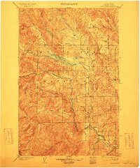
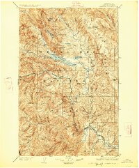
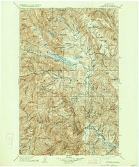
Editions of this 1904 Chiwaukum Map
6 editions found

Other maps of this area

1897 · Mount Stuart
USGS Topo · 1:125,000

1899 · Glacier Peak
USGS Topo · 1:125,000

1899 · Methow
USGS Topo · 1:125,000

1901 · Glacier Peak
USGS Topo · 1:125,000

1901 · Chelan
USGS Topo · 1:125,000

1901 · Methow
USGS Topo · 1:125,000

1901 · Chiwaukum
USGS Topo · 1:125,000

1901 · Snoqualmie Pass
USGS Topo · 1:125,000

1902 · Skykomish
USGS Topo · 1:125,000

1902 · Mount Stuart
USGS Topo · 1:125,000