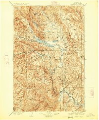
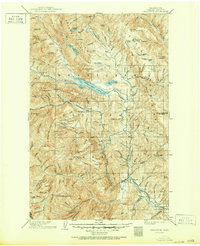
1904 Map of Chiwaukum
USGS Topo · Published 1925About this map
Leavenworth serves as the focal point for this 1904 survey, situated where the Wenatchee River emerges from the steep terrain of Tumwater Mtn. This era is defined by the critical expansion of the Great Northern R R, which follows the river valleys to connect the rail hub at Leavenworth with remote mountain outposts. The map documents the early infrastructure of the Wenatchee National Forest, featuring the tiny Dardanelles P O and the rail station at Nason Creek. High-elevation landmarks like Dirtyface Peak and the Chiwaukum Mountains loom over the Wenatchee Lake basin, while numerous mineral and survey benchmarks (B.M.) indicate the active geological and industrial assessment of the Cascades during the early 20th century. The intricate network of creeks, such as Big Meadow Creek and Wildhorse Creek, illustrates the complex drainage system feeding the Chiwawa River and Entiat River.
Find a feature on this map
100 named features on this map. Tap any name to fly to it.
Don’t see what you’re looking for? This feature index may not catch every label — zoom into the map to look around manually.
Map Details
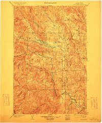
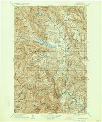
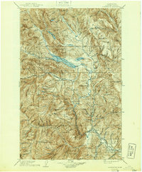
Editions of this 1904 Chiwaukum Map
6 editions found

Other maps of this area

1897 · Mount Stuart
USGS Topo · 1:125,000

1899 · Glacier Peak
USGS Topo · 1:125,000

1899 · Methow
USGS Topo · 1:125,000

1901 · Glacier Peak
USGS Topo · 1:125,000

1901 · Chelan
USGS Topo · 1:125,000

1901 · Methow
USGS Topo · 1:125,000

1901 · Chiwaukum
USGS Topo · 1:125,000

1901 · Snoqualmie Pass
USGS Topo · 1:125,000

1902 · Skykomish
USGS Topo · 1:125,000

1902 · Mount Stuart
USGS Topo · 1:125,000