
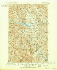
1904 Map of Chiwaukum
USGS Topo · Published 1904About this map
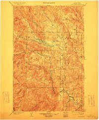
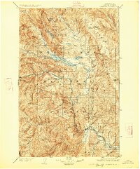
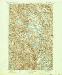
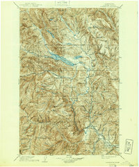
The Great Northern R. R. carves through the central terrain of this 1904 survey, tracing the narrow corridor of Nason Creek and the Wenatchee River. This early century landscape is defined by the expanse of the Washington Forest Reserve and the imposing Entiat Mountains to the east. At the confluence of major waterways, the settlement of Leavenworth serves as a pivotal rail point, while smaller stops like Merritt and Chiwaukum mark the progress of the line as it heads toward the high passes. High-elevation features like Wenatchee Lake and Fish Lake sit below Dirtyface Peak, illustrating a wilderness at the dawn of federal forest management. The intricate network of drainages, including Icicle Creek and Chiwaukum Creek, highlights the complex topography that dictated early transportation routes and mountain settlement patterns before modern development reshaped the Chelan County interior.
Find a feature on this map
64 named features on this map. Tap any name to fly to it.
Don’t see what you’re looking for? This feature index may not catch every label — zoom into the map to look around manually.
Map Details
Editions of this 1904 Chiwaukum Map
6 editions found
Other maps of this area

1897 · Mount Stuart
USGS Topo · 1:125,000

1899 · Glacier Peak
USGS Topo · 1:125,000

1899 · Methow
USGS Topo · 1:125,000

1901 · Glacier Peak
USGS Topo · 1:125,000

1901 · Chelan
USGS Topo · 1:125,000

1901 · Methow
USGS Topo · 1:125,000

1901 · Chiwaukum
USGS Topo · 1:125,000

1901 · Snoqualmie Pass
USGS Topo · 1:125,000

1902 · Skykomish
USGS Topo · 1:125,000

1902 · Mount Stuart
USGS Topo · 1:125,000