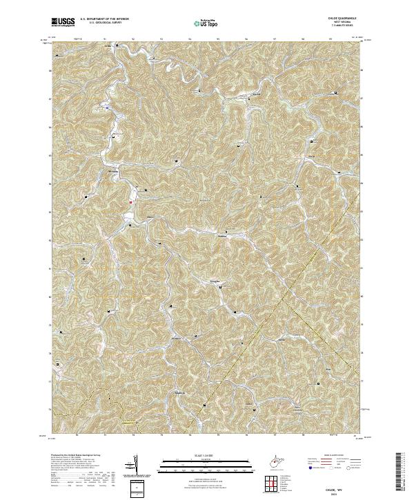
2023 Map of Chloe
USGS Topo · Published 2023About this map
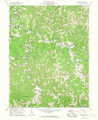
The Left Fork West Fork Little Kanawha River and the West Fork Little Kanawha River define the intricate drainage patterns of this central West Virginia landscape. Small settlements are scattered across the narrow valleys, including Chloe, Minnora, and Nebo, often centered around crossroads and stream junctions. The geography is characterized by numerous cemeteries that crown the ridgelines and hillsides, such as Mollohan Cem, Booher Cem, and the Clark Jarvis Cem, providing essential points of reference for genealogists tracing families in the Calhoun and Roane County borderlands. Transport follows the winding paths of waterways like Nicut Run and Stinson Creek, with notable landmarks like Mule Knob rising above the hollows. This recent survey shows the persistent rural character of the region, where place names like Nicut, Mudfork, and Floe reflect a long history of local settlement anchored by the local creek system.
Find a feature on this map
105 named features on this map. Tap any name to fly to it.
Don’t see what you’re looking for? This feature index may not catch every label — zoom into the map to look around manually.
Map Details
Editions of this 2023 Chloe Map
This is the sole edition of this map. No revisions or reprints were ever made.
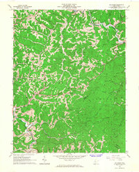
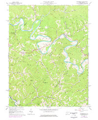
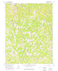
Historical Maps of Nebo Through Time
11 maps found
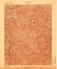
1907 Arnoldsburg
Calhoun County, WV
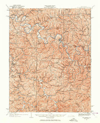
1925 Arnoldsburg
Calhoun County, WV
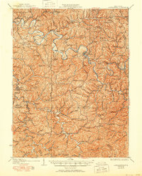
1927 Arnoldsburg
Calhoun County, WV
1965 Arnoldsburg
Calhoun County, WV
1965 Millstone
Calhoun County, WV
1966 Annamoriah
Calhoun County, WV
1966 Chloe
Calhoun County, WV
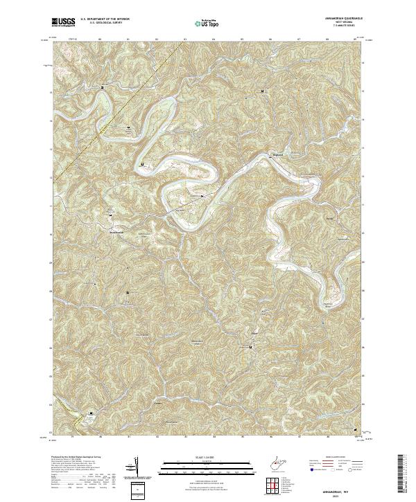
2023 Annamoriah
Calhoun County, WV
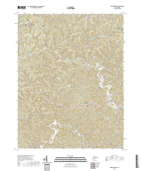
2023 Arnoldsburg
Calhoun County, WV
2023 Chloe
Calhoun County, WV
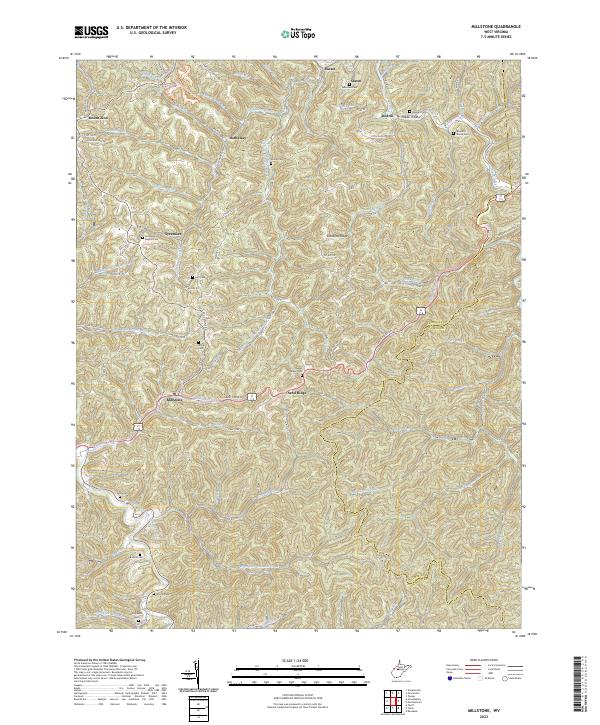
2023 Millstone
Calhoun County, WV