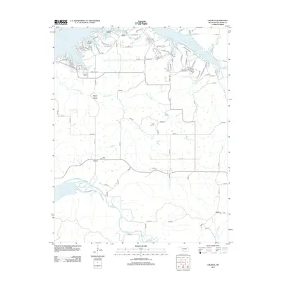
2012 Map of Chloeta
USGS Topo · Published 2012About this map
Grand Lake O' the Cherokees dominates the northern landscape of this Delaware County region, where the irregular shoreline is marked by numerous inlets and coves like Ghost Hollow and Grays Hollow. The settlement of Chloeta serves as a central point in the southern interior, situated near several deep-cut drainage patterns including Round Spring Hollow. This area reflects a mid-continent landscape shaped by large-scale water management projects, as evidenced by the presence of Spavinaw Lake and Lake Eucha to the south. Local heritage is preserved in sites such as Mose Ridge Cem and Yellow Tree Cem, which provide specific points of interest for genealogical research. The transportation network is defined by a mix of rural roads and the Disney Airport, illustrating the modern connectivity of this lake-front community.
Find a feature on this map
113 named features on this map. Tap any name to fly to it.
Don’t see what you’re looking for? This feature index may not catch every label — zoom into the map to look around manually.
Map Details
Editions of this 2012 Chloeta Map
This is the sole edition of this map. No revisions or reprints were ever made.
Other maps of this area
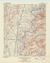
1896 · Pryor
USGS Topo · 1:125,000
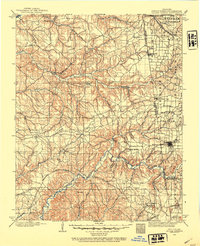
1899 · Siloam Springs
USGS Topo · 1:125,000
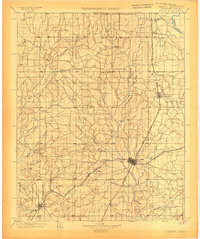
1901 · Vinita
USGS Topo · 1:125,000
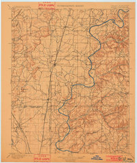
1901 · Pryor
USGS Topo · 1:125,000
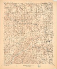
1903 · Siloam Springs
USGS Topo · 1:125,000
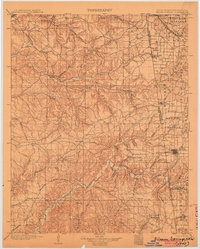
1904 · Siloam Springs
USGS Topo · 1:125,000
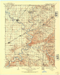
1907 · Wyandotte
USGS Topo · 1:125,000
1909 · Wyandotte
USGS Topo · 1:125,000
1913 · Vinita
USGS Topo · 1:125,000

1954 · Tulsa
USGS Topo · 1:250,000