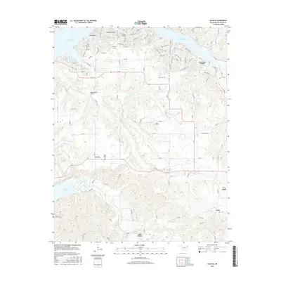
2016 Map of Chloeta
USGS Topo · Published 2016About this map
Chloeta and the surrounding Delaware County landscape are defined by a complex network of reservoirs and narrow hollows. The settlement pattern here reflects the mid-century transformation of the region's hydrography, with the large expanse of Grand Lake O' the Cherokees to the north and the tucked-away Spavinaw Lake and Lake Eucha to the south. Between these waters, the land rises into prominent features like Mose Ridge and the Hillside area near Drowning Creek.
Find a feature on this map
119 named features on this map. Tap any name to fly to it.
Don’t see what you’re looking for? This feature index may not catch every label — zoom into the map to look around manually.
Map Details
Editions of this 2016 Chloeta Map
This is the sole edition of this map. No revisions or reprints were ever made.
Other maps of this area
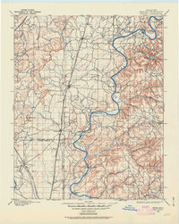
1896 · Pryor
USGS Topo · 1:125,000
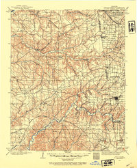
1899 · Siloam Springs
USGS Topo · 1:125,000
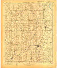
1901 · Vinita
USGS Topo · 1:125,000
1901 · Pryor
USGS Topo · 1:125,000
1903 · Siloam Springs
USGS Topo · 1:125,000
1904 · Siloam Springs
USGS Topo · 1:125,000
1907 · Wyandotte
USGS Topo · 1:125,000
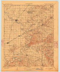
1909 · Wyandotte
USGS Topo · 1:125,000
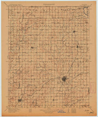
1913 · Vinita
USGS Topo · 1:125,000

1954 · Tulsa
USGS Topo · 1:250,000