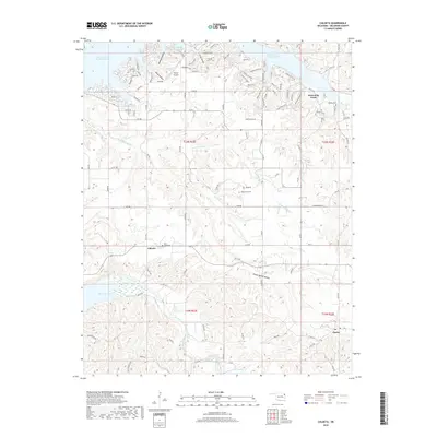
2018 Map of Chloeta
USGS Topo · Published 2018About this map
Grand Lake O' the Cherokees dominates the northern reaches of this Delaware County landscape, where winding inlets and points create a complex shoreline for local residents and visitors. The terrain transitions south through a series of hollows, including Ghost Hollow and Lawhead Hollow, toward the small settlement of Chloeta and the eastern edge of Spavinaw Lake. The area's genealogical history is marked by several burial sites such as Mose Ridge Cem, Yellow Tree Cem, and Hillside Cem, which are tucked away from the main thoroughfares.
Find a feature on this map
117 named features on this map. Tap any name to fly to it.
Don’t see what you’re looking for? This feature index may not catch every label — zoom into the map to look around manually.
Map Details
Editions of this 2018 Chloeta Map
This is the sole edition of this map. No revisions or reprints were ever made.
Other maps of this area

1896 · Pryor
USGS Topo · 1:125,000

1899 · Siloam Springs
USGS Topo · 1:125,000

1901 · Vinita
USGS Topo · 1:125,000

1901 · Pryor
USGS Topo · 1:125,000

1903 · Siloam Springs
USGS Topo · 1:125,000

1904 · Siloam Springs
USGS Topo · 1:125,000

1907 · Wyandotte
USGS Topo · 1:125,000

1909 · Wyandotte
USGS Topo · 1:125,000

1913 · Vinita
USGS Topo · 1:125,000

1954 · Tulsa
USGS Topo · 1:250,000