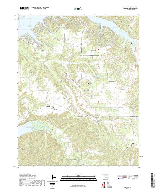
2022 Map of Chloeta
USGS Topo · Published 2022About this map
Chloeta and Eucha anchor this section of Delaware County, where the landscape transitions between high ridges and the intricate waterways of northeastern Oklahoma. The northern edge is dominated by the reach of Grand Lake O' The Cherokees and the Neosho River, while the southern portion features the headwaters of Spavinaw Lake. The topography is marked by several named hollows, including Ghost Hollow, Grays Hollow, and Round Spring Hollow, which reflect the localized drainage patterns into Summerfield Cr and Spavinaw Creek.
Find a feature on this map
112 named features on this map. Tap any name to fly to it.
Don’t see what you’re looking for? This feature index may not catch every label — zoom into the map to look around manually.
Map Details
Editions of this 2022 Chloeta Map
This is the sole edition of this map. No revisions or reprints were ever made.
Other maps of this area

1896 · Pryor
USGS Topo · 1:125,000

1899 · Siloam Springs
USGS Topo · 1:125,000

1901 · Vinita
USGS Topo · 1:125,000

1901 · Pryor
USGS Topo · 1:125,000

1903 · Siloam Springs
USGS Topo · 1:125,000

1904 · Siloam Springs
USGS Topo · 1:125,000

1907 · Wyandotte
USGS Topo · 1:125,000

1909 · Wyandotte
USGS Topo · 1:125,000

1913 · Vinita
USGS Topo · 1:125,000

1954 · Tulsa
USGS Topo · 1:250,000