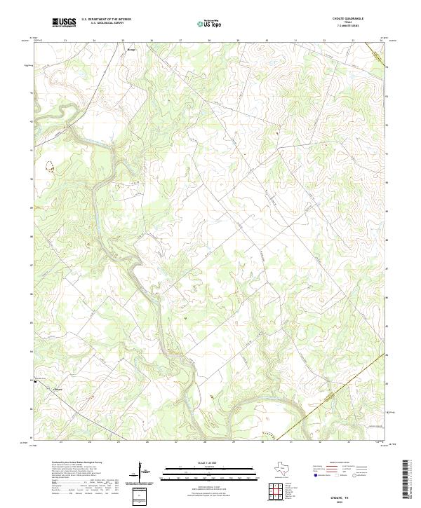
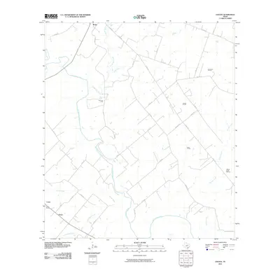
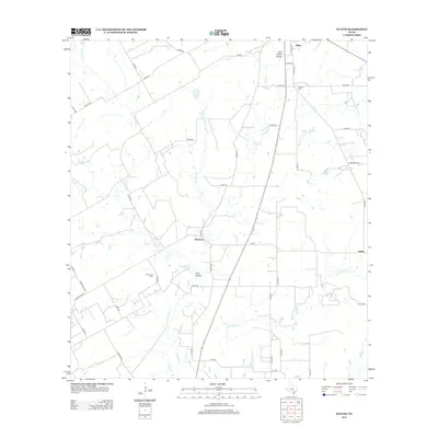
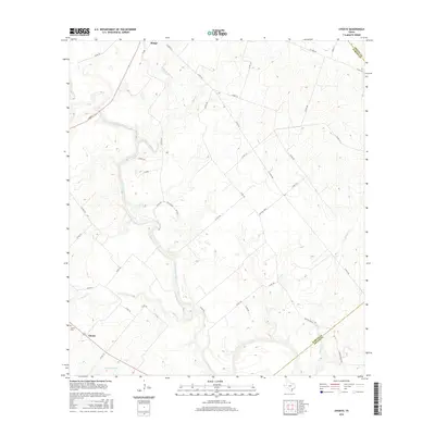
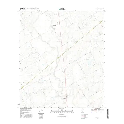
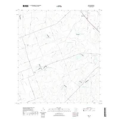
2022 Map of Choate
USGS Topo · Published 2022About this map
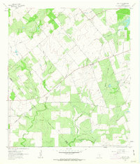
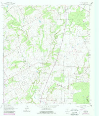
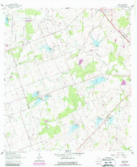
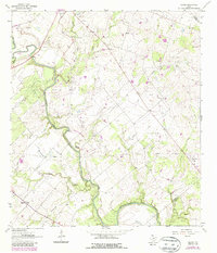
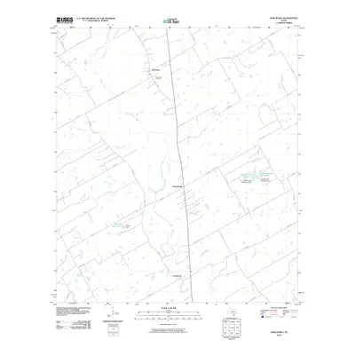
The San Antonio River snakes through this South Texas landscape, defining the topography south of Runge. The settlement of Choate sits at a crossroads in the southwestern corner, anchored by the Choate Cem. The terrain is deeply etched by a network of drainage systems including Ojo de Agua Cr, Yates Cr, and Escondida Cr, which converge toward the river valley.
Find a feature on this map
41 named features on this map. Tap any name to fly to it.
Don’t see what you’re looking for? This feature index may not catch every label — zoom into the map to look around manually.
Map Details
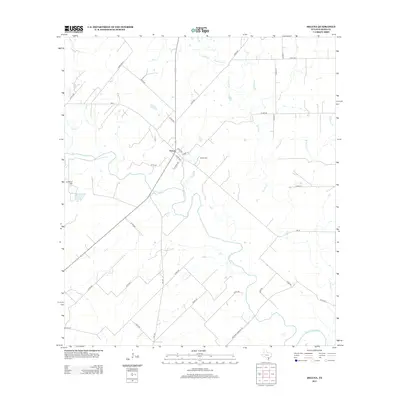
Editions of this 2022 Choate Map
This is the sole edition of this map. No revisions or reprints were ever made.
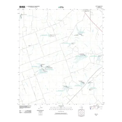
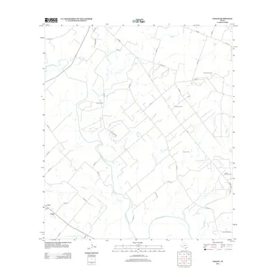
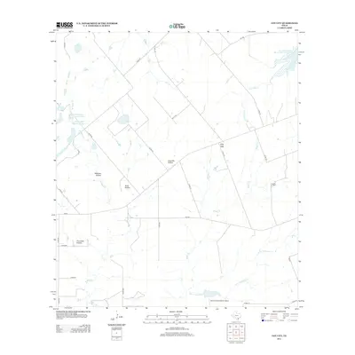
Historical Maps of Runge Through Time
37 maps found
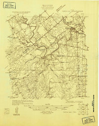
1925 Tordia No. 1
Karnes County, TX
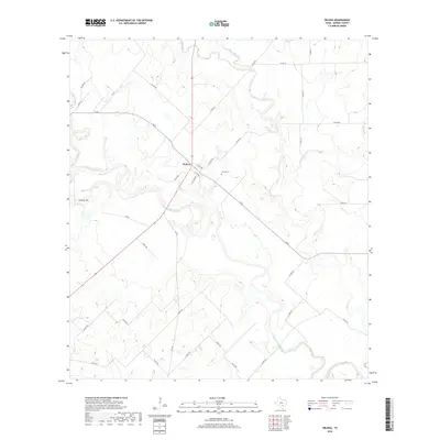
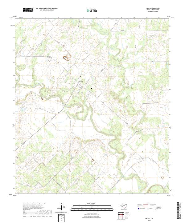
1960 Helena
Karnes County, TX
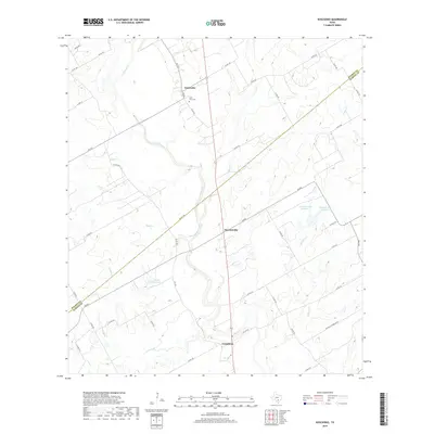
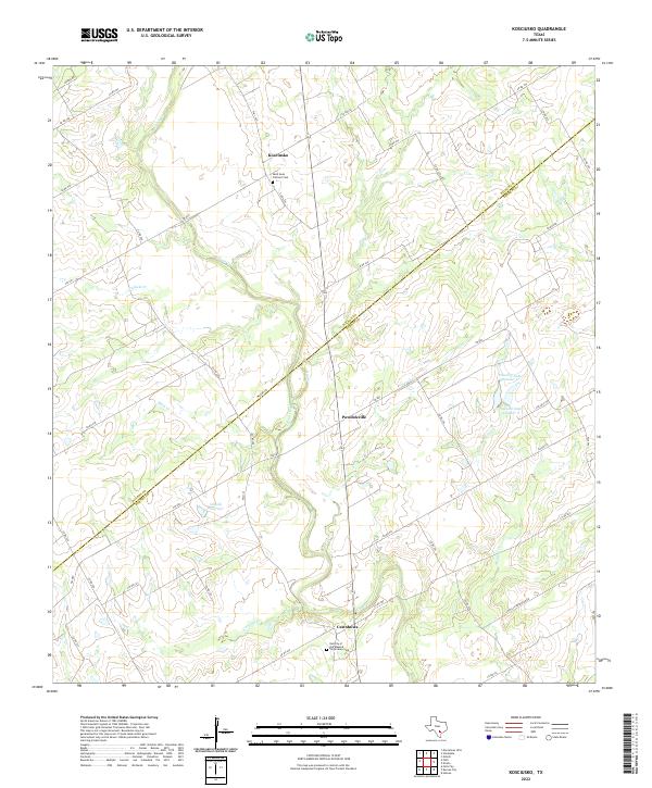
1960 Kosciusko
Karnes County, TX
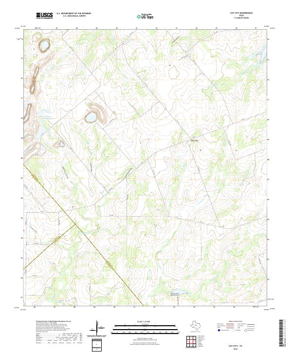
1961 Coy City
Karnes County, TX
1961 Ecleto
Karnes County, TX
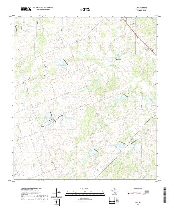
1961 Lenz
Karnes County, TX
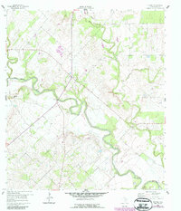
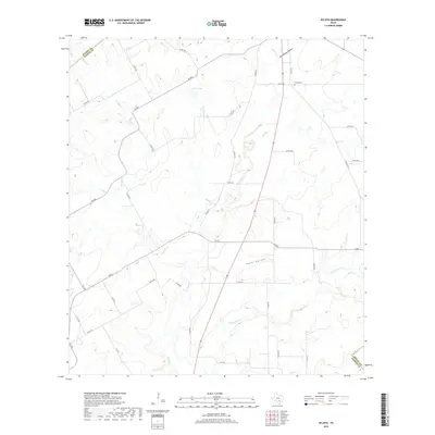
1963 Choate
Karnes County, TX
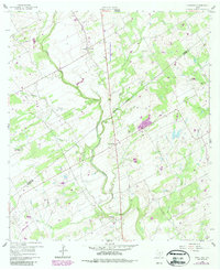
2010 Choate
Karnes County, TX
2010 Coy City
Karnes County, TX
2010 Ecleto
Karnes County, TX
2010 Helena
Karnes County, TX
2010 Kosciusko
Karnes County, TX
2010 Lenz
Karnes County, TX
2013 Choate
Karnes County, TX
2013 Coy City
Karnes County, TX
2013 Ecleto
Karnes County, TX
2013 Helena
Karnes County, TX
2013 Kosciusko
Karnes County, TX
2013 Lenz
Karnes County, TX
2016 Choate
Karnes County, TX
2016 Coy City
Karnes County, TX
2016 Ecleto
Karnes County, TX
2016 Helena
Karnes County, TX
2016 Kosciusko
Karnes County, TX
2016 Lenz
Karnes County, TX
2019 Choate
Karnes County, TX
2019 Coy City
Karnes County, TX
2019 Ecleto
Karnes County, TX
2019 Helena
Karnes County, TX
2019 Kosciusko
Karnes County, TX
2019 Lenz
Karnes County, TX
2022 Choate
Karnes County, TX
2022 Coy City
Karnes County, TX

2022 Ecleto
Karnes County, TX
2022 Helena
Karnes County, TX
2022 Kosciusko
Karnes County, TX
2022 Lenz
Karnes County, TX