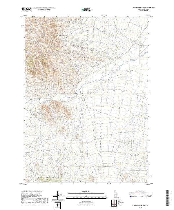
2023 Map of Chokecherry Canyon
USGS Topo · Published 2023About this map
Jim Sage Mountains dominate the northwestern horizon of this high-desert landscape in Cassia County. The terrain transitions from these heights through Chokecherry Canyon and down into the broad Raft River Valley. The water system is central to the area's geography, featuring the Raft River itself and several seasonal drainages like Onemile Creek and Holt Creek. To the south, the Bally Mountains rise again, framing the Upper Raft River Valley near a geological constriction known as The Narrows. For genealogists and local historians, the Standrod Cem in the southeastern corner serves as a vital anchor for tracing the families who settled this arid basin. The network of local routes, including Standrod Rd and E Strevell Rd, follows the valley floor, connecting the scattered springs and water sources like Womack Canyon Spring that supported ranching in this corner of Idaho.
Find a feature on this map
21 named features on this map. Tap any name to fly to it.
Don’t see what you’re looking for? This feature index may not catch every label — zoom into the map to look around manually.
Map Details
Editions of this 2023 Chokecherry Canyon Map
This is the sole edition of this map. No revisions or reprints were ever made.
Other maps of this area

1954 · Pocatello
USGS Topo · 1:250,000

1954 · Brigham City
USGS Topo · 1:250,000

1958 · Pocatello
USGS Topo · 1:250,000

1958 · Brigham City
USGS Topo · 1:250,000

1959 · Park Valley
USGS Topo · 1:62,500

1959 · Yost
USGS Topo · 1:62,500

1962 · Brigham City
USGS Topo · 1:250,000

1968 · Jim Sage Canyon
USGS Topo · 1:24,000

1968 · Elba
USGS Topo · 1:24,000

1968 · Kane Canyon
USGS Topo · 1:24,000