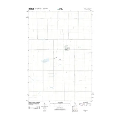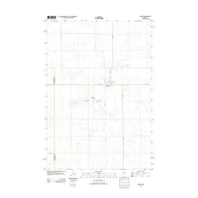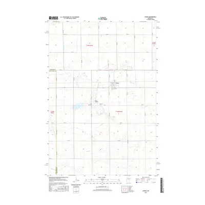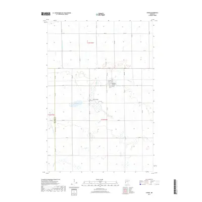
2022 Map of Chokio
USGS Topo · Published 2022About this map
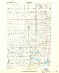
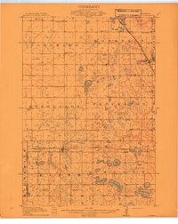
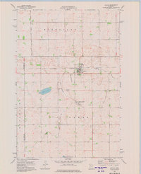
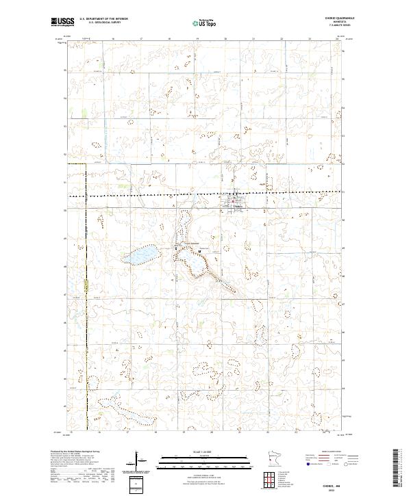
The town of Chokio serves as the central hub for this agricultural landscape along the western border of Stevens County. Established patterns of rural life are evident in the proximity of Chokio Cem and Saint Marys Cem, which mark the community's heritage just south of the main settlement. The terrain is defined by its complex hydrology, featuring the Clark Lakebed and the irregular waters of Gravel Lake. This 2022 survey documents a sophisticated drainage network, including the engineered County Ditch Number Fifteen and natural meandering waterways like Muddy Cr and Vipson Slough. The straight lines of the township and range system, reflected in roads like 640th Ave and 240th St, contrast with the winding paths of Twelvemile Cr and its western fork, illustrating the ongoing management of the prairie's water resources for modern farming.
Find a feature on this map
43 named features on this map. Tap any name to fly to it.
Don’t see what you’re looking for? This feature index may not catch every label — zoom into the map to look around manually.
Map Details
Editions of this 2022 Chokio Map
This is the sole edition of this map. No revisions or reprints were ever made.
Historical Maps of Chokio Through Time
8 maps found