1973 Map of Alberta
USGS Topo · Published 1975About this map
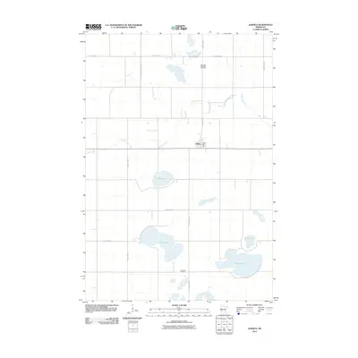
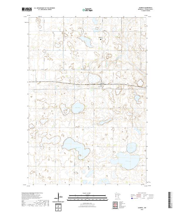
Alberta serves as the central hub of this prairie landscape, situated along the Burlington Northern railroad in the heart of Scott Twp. The map reveals a post-war rural landscape where civic life is anchored by the Townhall and the Pepperton Ch Cem to the north in Pepperton township. The terrain is defined by a dense network of glacial lakes and wetlands, including large bodies of water like Lake Hattie, Gorder Lake, and Flax Lake. Large portions of the area are dedicated to conservation, as evidenced by several segments of the National Waterfowl Production Area and the Alberta State Wildlife Management Area. These protected marshes and small lakes, such as Clear Lake and Mud Lake, create a complex hydrography that drains through the meandering Muddy Creek, illustrating the intersection of intensive agriculture and wildlife preservation in Stevens County.
Find a feature on this map
20 named features on this map. Tap any name to fly to it.
Don’t see what you’re looking for? This feature index may not catch every label — zoom into the map to look around manually.
Map Details
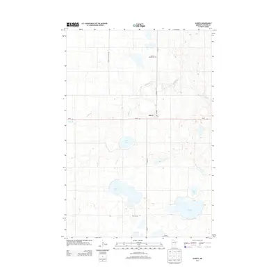
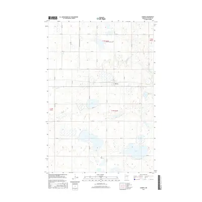
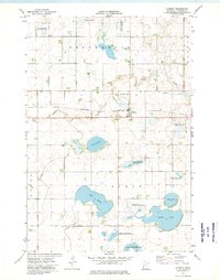
Editions of this 1973 Alberta Map
This is the sole edition of this map. No revisions or reprints were ever made.
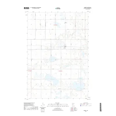
Historical Maps of Alberta Through Time
6 maps found