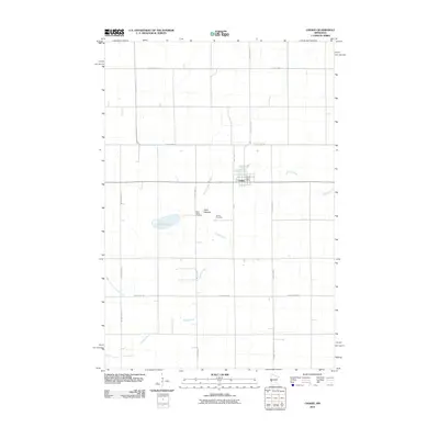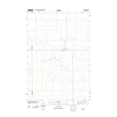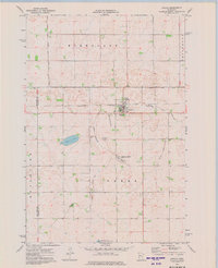
1973 Map of Chokio
USGS Topo · Published 1975About this map
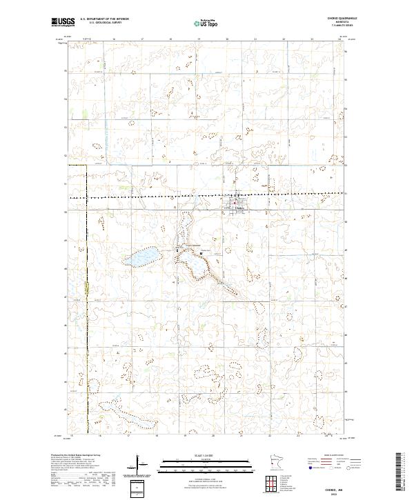
Chokio serves as the central hub of this western Minnesota landscape, situated along the Burlington Northern railroad line. The map documents a prairie environment defined by its water management and conservation areas, including the National Waterfowl Production Area and the Chokio State Wildlife Management Area. These designations, alongside features like Jipson Slough and the dry Clark Lakebed, illustrate the region's importance for migratory birds and local conservation efforts during the early 1970s.
Find a feature on this map
18 named features on this map. Tap any name to fly to it.
Don’t see what you’re looking for? This feature index may not catch every label — zoom into the map to look around manually.
Map Details
Editions of this 1973 Chokio Map
This is the sole edition of this map. No revisions or reprints were ever made.
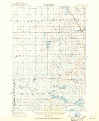
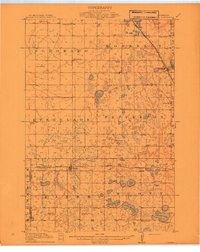
Historical Maps of Chokio Through Time
8 maps found