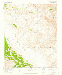
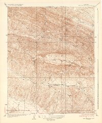
1961 Map of Cholame Valley
USGS Topo · Published 1962About this map
Cholame Valley is defined by a series of alluvial fans and distinct canyons along the border of Monterey, San Luis Obispo, and Kings Counties. Centered on the Cholame Ranch, the map reveals a landscape primarily dedicated to ranching and dry-land farming, with scattered grain fields and a remote airstrip serving the valley floor. The water security of this arid region is meticulously documented through numerous named sources such as Kerr Spring, Willow Spring, and Little Tiger Spring, alongside several wells and the seasonal flow of Cholame Creek.
Find a feature on this map
38 named features on this map. Tap any name to fly to it.
Don’t see what you’re looking for? This feature index may not catch every label — zoom into the map to look around manually.
Map Details
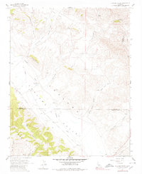
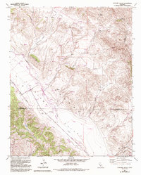
Editions of this 1961 Cholame Valley Map
3 editions found
Other maps of this area

1914 · Cholame
USGS Topo · 1:125,000

1915 · Cholame
USGS Topo · 1:125,000

1917 · Cholame
USGS Topo · 1:125,000

1934 · The Dark Hole
USGS Topo · 1:31,680

1934 · Reef Ridge
USGS Topo · 1:31,680
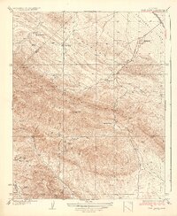
1937 · Reef Ridge
USGS Topo · 1:31,680
1937 · The Dark Hole
USGS Topo · 1:31,680

1942 · Parkfield
USGS Topo · 1:24,000

1942 · Tent Hills
USGS Topo · 1:24,000

1943 · Shandon
USGS Topo · 1:31,680