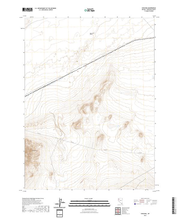
2021 Map of Cholona
USGS Topo · Published 2021About this map
Black Rock Desert dominates the northern reaches of this Pershing County quadrant, where the stark, flat playa of a prehistoric lake bed meets the rising contours of the Great Basin. This desert landscape is bisected by the long stretch of Jungo Rd, a vital corridor through the arid interior that connects the isolated peaks to broader transit routes. To the southwest, the terrain shifts abruptly as the elevation climbs toward the summit of Pahsupp Mtn, providing a dramatic vertical contrast to the sprawling alkaline flats. The map serves as a detailed study of the township and range system in this part of Nevada, documenting the expansive, sparsely populated territory and the geological transitions between dry lake basins and volcanic mountain ranges.
Find a feature on this map
9 named features on this map. Tap any name to fly to it.
Don’t see what you’re looking for? This feature index may not catch every label — zoom into the map to look around manually.
Map Details
Editions of this 2021 Cholona Map
This is the sole edition of this map. No revisions or reprints were ever made.
Other maps of this area

1886 · Granite Range
USGS Topo · 1:250,000

1894 · Granite Range
USGS Topo · 1:250,000

1931 · Lovelock
USGS Topo · 1:250,000

1935 · Lovelock
USGS Topo · 1:250,000

1955 · Lovelock
USGS Topo · 1:250,000

1959 · Lovelock
USGS Topo · 1:250,000
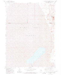
1980 · Black Rock Point West
USGS Topo · 1:24,000
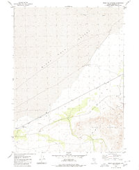
1980 · Trego Hot Spring
USGS Topo · 1:24,000

1980 · Dry Mountain
USGS Topo · 1:24,000
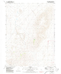
1981 · Sheep Spring
USGS Topo · 1:24,000