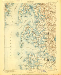
1908 Map of Choptank
USGS Topo · Published 1928About this map
Annapolis and its waterfront neighborhoods, including Eastport and Arundel on the Bay, anchor the western shore of the Chesapeake Bay at the opening of the twentieth century. Across the water, the Eastern Shore is a complex geography of peninsulas and islands, where the Baltimore and Chesapeake Atlantic RR links maritime villages like St Michaels and Claiborne to the interior. The map illustrates a rural and seafaring economy, showing the distribution of small settlements such as Tunis Mills, Fairbank, and Carmichael.
Find a feature on this map
175 named features on this map. Tap any name to fly to it.
Don’t see what you’re looking for? This feature index may not catch every label — zoom into the map to look around manually.
Map Details
Editions of this 1908 Choptank Map
5 editions found

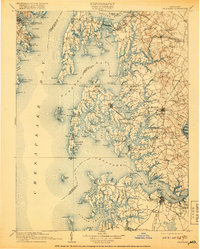
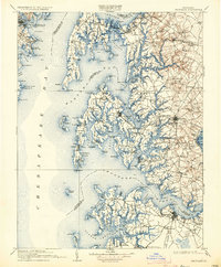
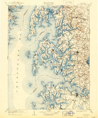
Other maps of this area

1892 · Leonardtown
USGS Topo · 1:62,500

1892 · Drum Point
USGS Topo · 1:62,500

1892 · Prince Frederick
USGS Topo · 1:62,500

1892 · Owensville
USGS Topo · 1:62,500

1892 · Annapolis
USGS Topo · 1:62,500

1893 · Sharps Island
USGS Topo · 1:62,500

1893 · North Point
USGS Topo · 1:62,500

1894 · Relay
USGS Topo · 1:62,500

1895 · Prince Frederick
USGS Topo · 1:62,500

1895 · Leonardtown
USGS Topo · 1:62,500