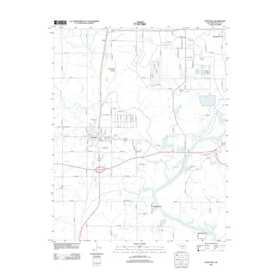
2012 Map of Chouteau
USGS Topo · Published 2012About this map
Chouteau serves as the central hub of this Mayes County landscape, where the confluence of regional transit and industrial development defines the local geography. The map illustrates a diverse pattern of settlement, ranging from the established town center to outlying communities such as Sportsmen Acres, Paradise View, and Pin Oak Acres. For those tracing family histories, several burial sites are documented including Chouteau Cem, Alberty Cem, and Sixkiller Cem, providing essential markers of local heritage.
Find a feature on this map
102 named features on this map. Tap any name to fly to it.
Don’t see what you’re looking for? This feature index may not catch every label — zoom into the map to look around manually.
Map Details
Editions of this 2012 Chouteau Map
This is the sole edition of this map. No revisions or reprints were ever made.
Other maps of this area
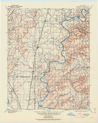
1896 · Pryor
USGS Topo · 1:125,000
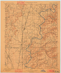
1901 · Pryor
USGS Topo · 1:125,000

1954 · Tulsa
USGS Topo · 1:250,000
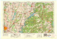
1958 · Tulsa
USGS Topo · 1:250,000
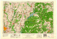
1963 · Tulsa
USGS Topo · 1:250,000
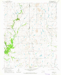
1963 · Neodesha
USGS Topo · 1:24,000
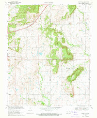
1970 · Osage Hills
USGS Topo · 1:24,000
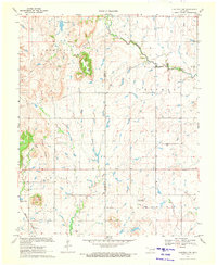
1970 · Chouteau NW
USGS Topo · 1:24,000
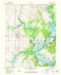
1970 · Chouteau
USGS Topo · 1:24,000
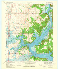
1970 · Rocky Point
USGS Topo · 1:24,000