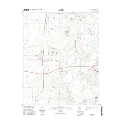
2016 Map of Chouteau
USGS Topo · Published 2016About this map
Chouteau serves as the central hub of this Mayes County landscape, where the agricultural plains of eastern Oklahoma meet the industrial expansion of the Mid-America Industrial Airport. The town's grid expands eastward from its core near Chouteau West Cem, while the surrounding countryside is dotted with smaller communities like Lusta and Mazie. To the southeast, the terrain descends toward the broad waters of the Neosho River and the northern reaches of Fort Gibson Lake, creating a distinct riparian boundary for the area.
Find a feature on this map
52 named features on this map. Tap any name to fly to it.
Don’t see what you’re looking for? This feature index may not catch every label — zoom into the map to look around manually.
Map Details
Editions of this 2016 Chouteau Map
This is the sole edition of this map. No revisions or reprints were ever made.
Other maps of this area
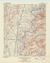
1896 · Pryor
USGS Topo · 1:125,000
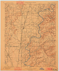
1901 · Pryor
USGS Topo · 1:125,000

1954 · Tulsa
USGS Topo · 1:250,000
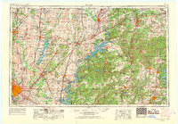
1958 · Tulsa
USGS Topo · 1:250,000
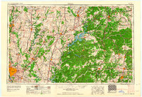
1963 · Tulsa
USGS Topo · 1:250,000
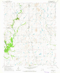
1963 · Neodesha
USGS Topo · 1:24,000
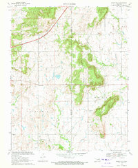
1970 · Osage Hills
USGS Topo · 1:24,000
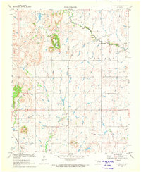
1970 · Chouteau NW
USGS Topo · 1:24,000
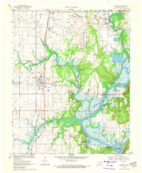
1970 · Chouteau
USGS Topo · 1:24,000
1970 · Rocky Point
USGS Topo · 1:24,000