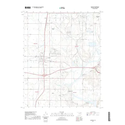
2019 Map of Chouteau
USGS Topo · Published 2019About this map
Chouteau serves as the central hub of this Mayes County landscape, situated at the intersection of critical regional transit corridors just west of the Neosho River. The settlement pattern reflects a mixture of agricultural roots and modern infrastructure, anchored by the Mid-America Industrial Airport and the surrounding industrial complex. Local history is deeply embedded in the land through numerous small burial grounds, including the Alberty Cem, Sixkiller Cem, and Brushy Creek Cem, which often represent early family allotments or community centers. To the south, the village of Mazie and the residential pocket of Paradise View sit near the winding banks of Chouteau Creek, while the northeastern corner shows the development of Sportsmen Acres near the convergence of Pryor Creek and the river. The map details a dense grid of rural roads, such as e0550 RD and e0600 RD, that connect these scattered communities.
Find a feature on this map
53 named features on this map. Tap any name to fly to it.
Don’t see what you’re looking for? This feature index may not catch every label — zoom into the map to look around manually.
Map Details
Editions of this 2019 Chouteau Map
This is the sole edition of this map. No revisions or reprints were ever made.
Other maps of this area

1896 · Pryor
USGS Topo · 1:125,000

1901 · Pryor
USGS Topo · 1:125,000

1954 · Tulsa
USGS Topo · 1:250,000

1958 · Tulsa
USGS Topo · 1:250,000

1963 · Tulsa
USGS Topo · 1:250,000
1963 · Neodesha
USGS Topo · 1:24,000
1970 · Osage Hills
USGS Topo · 1:24,000
1970 · Chouteau NW
USGS Topo · 1:24,000
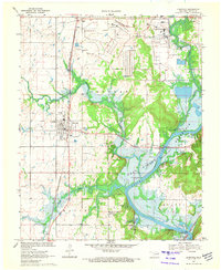
1970 · Chouteau
USGS Topo · 1:24,000
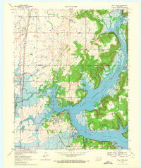
1970 · Rocky Point
USGS Topo · 1:24,000