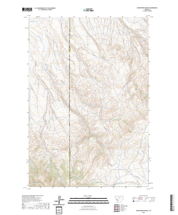
2024 Map of Christensen Ranch
USGS Topo · Published 2024About this map
The Iron Mine sits near the heart of this high-elevation landscape, where the Beaverhead and Madison county lines meet in Southwestern Montana. The terrain is defined by the steep southern slopes of the Ruby Range, a complex system of ridges and drainages that feed into Sweetwater Creek and Hoffman Creek. Access across this territory is managed via a few established routes such as Sweetwater Rd and Stone Creek Rd, reflecting the expansive and pastoral character of the region's land use.
Find a feature on this map
23 named features on this map. Tap any name to fly to it.
Don’t see what you’re looking for? This feature index may not catch every label — zoom into the map to look around manually.
Map Details
Editions of this 2024 Christensen Ranch Map
This is the sole edition of this map. No revisions or reprints were ever made.
Other maps of this area

1893 · Dillon
USGS Topo · 1:250,000

1955 · Dillon
USGS Topo · 1:250,000

1957 · Dillon
USGS Topo · 1:250,000

1958 · Dillon
USGS Topo · 1:250,000

1961 · Mine Gulch
USGS Topo · 1:24,000

1961 · Glen SE
USGS Topo · 1:24,000

1961 · Christensen Ranch
USGS Topo · 1:24,000

1961 · Red Canyon
USGS Topo · 1:24,000

1961 · Beaverhead Rock SE
USGS Topo · 1:24,000

1961 · Ashbough Canyon
USGS Topo · 1:24,000