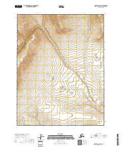
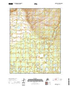
2018 Map of Christian A-5 NW
USGS Topo · Published 2018About this map
U.S. Geological Survey mapping of this remote interior Alaska landscape reveals a terrain defined by high ridges and complex drainage systems within the T28n R6e and T28n R7e townships. The map is devoid of named settlements, roads, or specific man-made infrastructure, emphasizing the wild character of the Yukon-Koyukuk region. Instead, the document provides a detailed study of natural topography, tracing the contours of the northern highlands through T27n R6e and southward. For researchers and cartographic enthusiasts, the value lies in the precise recording of the land's physical structure, showing the elevation changes and wetland patterns as they existed in the early 21st century before modern environmental shifts might further alter these undeveloped watersheds.
Find a feature on this map
4 named features on this map. Tap any name to fly to it.
Don’t see what you’re looking for? This feature index may not catch every label — zoom into the map to look around manually.
Map Details
Editions of this 2018 Christian A-5 NW Map
This is the sole edition of this map. No revisions or reprints were ever made.
Other maps of this area

1951 · Christian
USGS Topo · 1:250,000

1956 · Christian
USGS Topo · 1:250,000
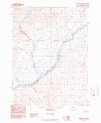
1990 · Christian B-6
USGS Topo · 1:63,360
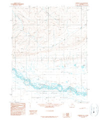
1990 · Christian A-6
USGS Topo · 1:63,360
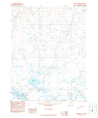
1990 · Christian A-5
USGS Topo · 1:63,360
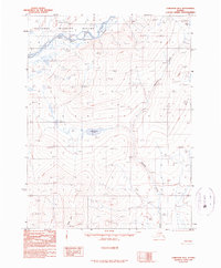
1990 · Christian B-5
USGS Topo · 1:63,360
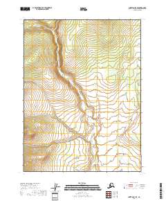
2018 · Christian B-5 SE
USGS Topo · 1:25,000
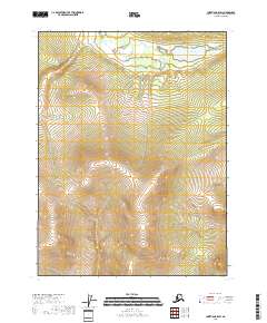
2018 · Christian B-5 SW
USGS Topo · 1:25,000
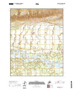
2018 · Christian A-6 SE
USGS Topo · 1:25,000
2018 · Christian A-5 SE
USGS Topo · 1:25,000