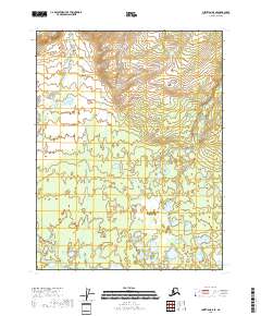
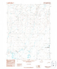
2018 Map of Christian A-5 SE
USGS Topo · Published 2018About this map
Kocacho Cr winds through the northern and western reaches of this remote interior Alaska landscape, defining a terrain shaped by the slow movement of water across a high-latitude basin. The southern edge of the sheet is dominated by the expansive Vunikth Lakes, a complex of interconnected water bodies that suggest a dynamic wetland environment typical of the Yukon-Koyukuk region. This survey, grounded in data from the National Hydrography Dataset and the National Elevation Dataset, provides a technical baseline for the township and range lines of t27n r7e and t26n r8e, among others. The absence of roads or established settlements emphasizes the wilderness character of the area, where the primary landmarks are these hydrographic features and the invisible boundaries of the Public Land Survey System.
Find a feature on this map
8 named features on this map. Tap any name to fly to it.
Don’t see what you’re looking for? This feature index may not catch every label — zoom into the map to look around manually.
Map Details
Editions of this 2018 Christian A-5 SE Map
This is the sole edition of this map. No revisions or reprints were ever made.
Other maps of this area

1951 · Fort Yukon
USGS Topo · 1:250,000

1951 · Christian
USGS Topo · 1:250,000

1955 · Fort Yukon D-4
USGS Topo · 1:63,360

1955 · Fort Yukon D-5
USGS Topo · 1:63,360

1956 · Christian
USGS Topo · 1:250,000

1956 · Fort Yukon
USGS Topo · 1:250,000
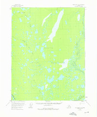
1956 · Fort Yukon D-4
USGS Topo · 1:63,360
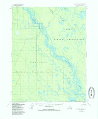
1956 · Fort Yukon D-5
USGS Topo · 1:63,360
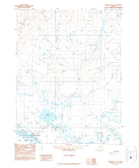
1990 · Christian A-5
USGS Topo · 1:63,360
1990 · Christian A-4
USGS Topo · 1:63,360