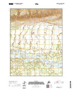
2018 Map of Christian A-6 SE
USGS Topo · Published 2018About this map
The Teedriinjik River winds through this northern interior landscape, carving a complex network of channels and sandbars across the southern half of the region. This river system dominates the terrain, creating a low-lying basin characterized by numerous small ponds and marshy areas indicative of the Yukon-Koyukuk region. In the northeast, the land rises toward a series of ridges, where Tinjikvun Lake sits as a prominent landmark in the foothills. The transition from the active river valley to the upland slopes illustrates the hydraulic character of the area, where water flow and seasonal changes define the local geography. Surveyed by the U.S. Geological Survey, this map records a vast, nearly undeveloped expanse where natural features like the river and lake are the primary points of orientation.
Find a feature on this map
8 named features on this map. Tap any name to fly to it.
Don’t see what you’re looking for? This feature index may not catch every label — zoom into the map to look around manually.
Map Details
Editions of this 2018 Christian A-6 SE Map
This is the sole edition of this map. No revisions or reprints were ever made.
Other maps of this area

1951 · Fort Yukon
USGS Topo · 1:250,000

1951 · Christian
USGS Topo · 1:250,000

1955 · Fort Yukon D-5
USGS Topo · 1:63,360

1956 · Christian
USGS Topo · 1:250,000

1956 · Fort Yukon
USGS Topo · 1:250,000
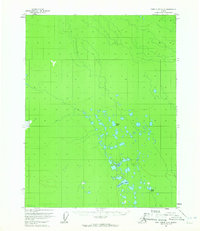
1956 · Fort Yukon D-6
USGS Topo · 1:63,360
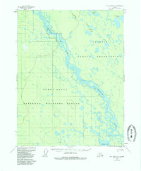
1956 · Fort Yukon D-5
USGS Topo · 1:63,360
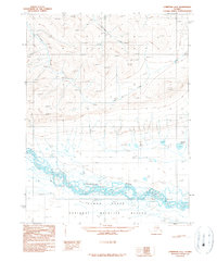
1990 · Christian A-6
USGS Topo · 1:63,360
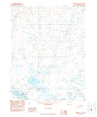
1990 · Christian A-5
USGS Topo · 1:63,360
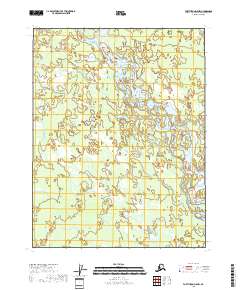
2018 · Fort Yukon D-5 NW
USGS Topo · 1:25,000