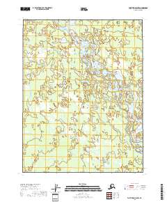
2018 Map of Fort Yukon D-5 NW
USGS Topo · Published 2018About this map
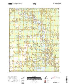
Teedriinjik River dominates this portion of the interior, winding through a complex network of wetlands and braided channels. This 2018 survey reveals a landscape defined by seasonal water movement, where the main river course is flanked by countless oxbows and unnamed ponds. The lack of named settlements or infrastructure reflects the true wilderness character of the region within the Yukon-Koyukuk Census Area, north of the Arctic Circle. Mapping here relies on satellite imagery and historical hydrography data to trace the shifting paths of the waterway through various townships, including t25n r6e and t24n r7e. For researchers, the map provides a precise record of the river's geomorphology and the intricate drainage patterns of the surrounding basin at the start of the twenty-first century.
Find a feature on this map
5 named features on this map. Tap any name to fly to it.
Don’t see what you’re looking for? This feature index may not catch every label — zoom into the map to look around manually.
Map Details
Editions of this 2018 Fort Yukon D-5 NW Map
This is the sole edition of this map. No revisions or reprints were ever made.
Other maps of this area

1951 · Fort Yukon
USGS Topo · 1:250,000

1951 · Christian
USGS Topo · 1:250,000

1955 · Fort Yukon D-5
USGS Topo · 1:63,360

1956 · Christian
USGS Topo · 1:250,000

1956 · Fort Yukon
USGS Topo · 1:250,000
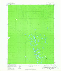
1956 · Fort Yukon D-6
USGS Topo · 1:63,360
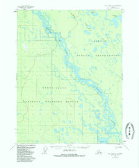
1956 · Fort Yukon D-5
USGS Topo · 1:63,360
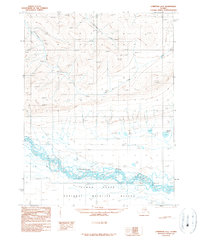
1990 · Christian A-6
USGS Topo · 1:63,360
1990 · Christian A-5
USGS Topo · 1:63,360
2018 · Fort Yukon D-5 SE
USGS Topo · 1:25,000