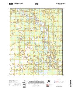
2018 Map of Fort Yukon D-5 SE
USGS Topo · Published 2018About this map
Teedriinjik River meanders through this portion of the Yukon Flats, a region characterized by its intricate network of waterways and low-lying wetlands. The river's shifting course is evident in the numerous oxbow lakes and abandoned channels that dot the landscape, including Bearman Lake. To the west, the foothills of the Crazy Mountains begin to rise, providing a distinct topographic contrast to the surrounding alluvial plain. This survey by the U.S. Geological Survey documents the natural hydrology of the eastern interior of Alaska, where the absence of roads or permanent settlements highlights the wilderness character of the territory. The map serves as a primary record of the land's physical layout, preserved through the Public Land Survey System grids such as t24n r7e and t23n r8e, which provide a framework for understanding this remote landscape.
Find a feature on this map
10 named features on this map. Tap any name to fly to it.
Don’t see what you’re looking for? This feature index may not catch every label — zoom into the map to look around manually.
Map Details
Editions of this 2018 Fort Yukon D-5 SE Map
This is the sole edition of this map. No revisions or reprints were ever made.
Other maps of this area

1951 · Fort Yukon
USGS Topo · 1:250,000

1952 · Fort Yukon C-4
USGS Topo · 1:63,360

1955 · Fort Yukon D-4
USGS Topo · 1:63,360

1955 · Fort Yukon D-5
USGS Topo · 1:63,360

1955 · Fort Yukon C-5
USGS Topo · 1:63,360

1956 · Fort Yukon C-5
USGS Topo · 1:63,360

1956 · Fort Yukon
USGS Topo · 1:250,000
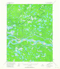
1956 · Fort Yukon C-4
USGS Topo · 1:63,360
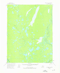
1956 · Fort Yukon D-4
USGS Topo · 1:63,360
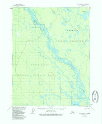
1956 · Fort Yukon D-5
USGS Topo · 1:63,360