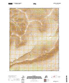
2018 Map of Christian A-6 NE
USGS Topo · Published 2018About this map
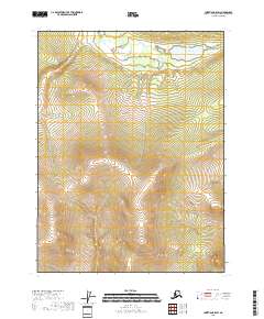
Crater Cr and Cornucopia Cr define the hydrological patterns of this interior Alaskan landscape, which remains largely untouched by development in the late 20th and early 21st centuries. The terrain is characterized by a series of high ridges and narrow drainage basins within the Yukon-Koyukuk Census Area. This survey provides a specialized look at the land before any major infrastructure entered these remote townships. The absence of roads or settlements suggests a region used primarily for subsistence or seasonal transit rather than permanent habitation. For those studying the physical geography of the Alaskan interior, the map details the precise elevations and flow paths of the headwaters that eventually contribute to the larger watershed.
Find a feature on this map
6 named features on this map. Tap any name to fly to it.
Don’t see what you’re looking for? This feature index may not catch every label — zoom into the map to look around manually.
Map Details
Editions of this 2018 Christian A-6 NE Map
This is the sole edition of this map. No revisions or reprints were ever made.
Other maps of this area

1951 · Christian
USGS Topo · 1:250,000

1956 · Christian
USGS Topo · 1:250,000
1990 · Christian B-6
USGS Topo · 1:63,360
1990 · Christian A-6
USGS Topo · 1:63,360
1990 · Christian A-5
USGS Topo · 1:63,360
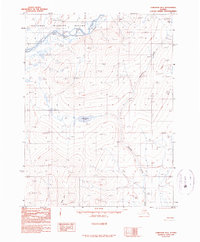
1990 · Christian B-5
USGS Topo · 1:63,360
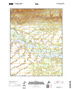
2018 · Christian A-6 SW
USGS Topo · 1:25,000
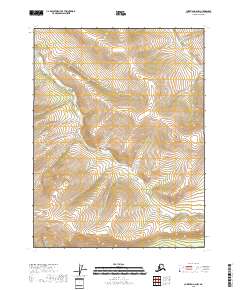
2018 · Christian A-6 NW
USGS Topo · 1:25,000
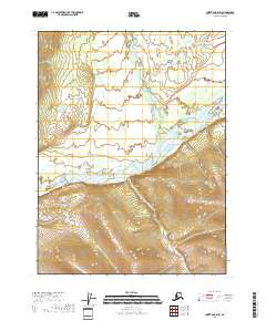
2018 · Christian B-6 SW
USGS Topo · 1:25,000
2018 · Christian B-5 SW
USGS Topo · 1:25,000