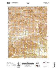
2018 Map of Christian C-2 NE
USGS Topo · Published 2018About this map
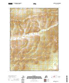
The remote terrain of the Christian C-2 NE quadrangle is characterized by a high-elevation landscape within the Yukon-Koyukuk Census Area. At the time of this 2018 survey, the only named watercourse identified in the drainage network is Otter Cr, which flows through the northwestern portion of the map. The landscape is defined by the absence of permanent settlements, roads, or human infrastructure, instead highlighting the precise topographic contours and the extensive Public Land Survey System grid. This grid includes portions of townships such as t34n r13e and t33n r14e, providing a detailed look at the geographic organization of this uninhabited wilderness just after the first decade of the 21st century.
Find a feature on this map
8 named features on this map. Tap any name to fly to it.
Don’t see what you’re looking for? This feature index may not catch every label — zoom into the map to look around manually.
Map Details
Editions of this 2018 Christian C-2 NE Map
This is the sole edition of this map. No revisions or reprints were ever made.
Other maps of this area

1951 · Christian
USGS Topo · 1:250,000

1956 · Christian
USGS Topo · 1:250,000
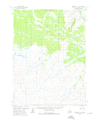
1972 · Christian D-2
USGS Topo · 1:63,360
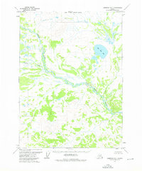
1973 · Christian D-1
USGS Topo · 1:63,360
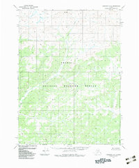
1983 · Christian C-2
USGS Topo · 1:63,360
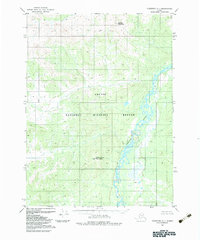
1983 · Christian C-1
USGS Topo · 1:63,360
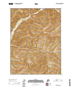
2018 · Christian C-2 SW
USGS Topo · 1:25,000
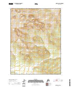
2018 · Christian C-1 NW
USGS Topo · 1:25,000
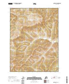
2018 · Christian C-2 SE
USGS Topo · 1:25,000
2018 · Christian C-1 SW
USGS Topo · 1:25,000