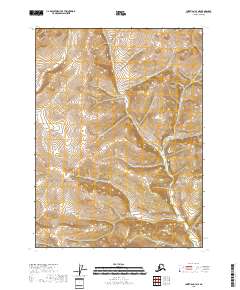
2018 Map of Christian C-3 NE
USGS Topo · Published 2018About this map
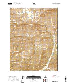
Interior Alaska's high-latitude wilderness is defined by the rigid grid of the Public Land Survey System in this 2018 record. This specific quadrangle covers the intersection of several townships, including T34n R11e, T34n R12e, T33n R11e, T33n R12e, T32n R11e, and T32n R12e. The topography is marked by a series of steep, north-south trending ridges and deep drainages, though no specific water bodies or peaks are named on this sheet. The lack of infrastructure, named roads, or settlements reflects the extreme isolation of the Yukon-Koyukuk region, where the landscape remains largely untouched by modern development. This data, produced by the U.S. Geological Survey, provides a precise look at the elevation and land partitions in one of the most remote parts of the United States.
Find a feature on this map
6 named features on this map. Tap any name to fly to it.
Don’t see what you’re looking for? This feature index may not catch every label — zoom into the map to look around manually.
Map Details
Editions of this 2018 Christian C-3 NE Map
This is the sole edition of this map. No revisions or reprints were ever made.
Other maps of this area

1951 · Christian
USGS Topo · 1:250,000

1956 · Christian
USGS Topo · 1:250,000
1972 · Christian D-2
USGS Topo · 1:63,360
1972 · Christian D-3
USGS Topo · 1:63,360
1972 · Christian C-3
USGS Topo · 1:63,360
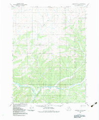
1983 · Christian C-3
USGS Topo · 1:63,360
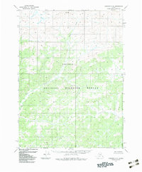
1983 · Christian C-2
USGS Topo · 1:63,360
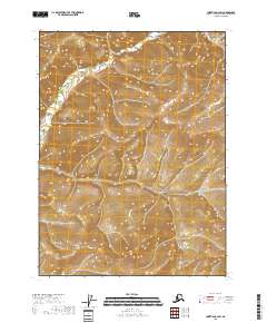
2018 · Christian C-2 SW
USGS Topo · 1:25,000
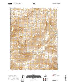
2018 · Christian D-2 SW
USGS Topo · 1:25,000
2018 · Christian C-2 NW
USGS Topo · 1:25,000