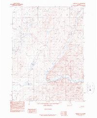
1990 Map of Christian C-4
USGS Topo · Published 1990About this map
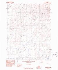
Christian River defines the drainage of this interior Alaskan landscape, meandering through a complex network of wetlands and unnamed water bodies. This 1990 provisional survey, based on photography from the early 1980s, captures a remote region where human presence is sparse, marked primarily by isolated Cabins and a Winter Trail that suggests seasonal transit across the frozen terrain. Large features like Brown Grass Lake and Bob Lake stand out amidst the topographic contours, indicating the slow-moving water patterns characteristic of the Yukon-Koyukuk region. The map provides a look at the wilderness before digital mapping, preserving the locations of specific shelters and traditional routes used by hunters or travelers in the Alaskan bush.
Find a feature on this map
6 named features on this map. Tap any name to fly to it.
Don’t see what you’re looking for? This feature index may not catch every label — zoom into the map to look around manually.
Map Details
Editions of this 1990 Christian C-4 Map
This is the sole edition of this map. No revisions or reprints were ever made.
Other maps of this area

1951 · Christian
USGS Topo · 1:250,000

1956 · Christian
USGS Topo · 1:250,000
1972 · Christian D-3
USGS Topo · 1:63,360
1972 · Christian C-3
USGS Topo · 1:63,360
1983 · Christian C-3
USGS Topo · 1:63,360
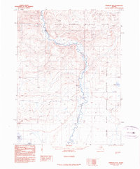
1990 · Christian B-3
USGS Topo · 1:63,360
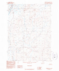
1990 · Christian D-4
USGS Topo · 1:63,360
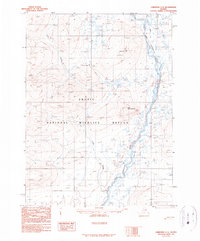
1990 · Christian C-5
USGS Topo · 1:63,360
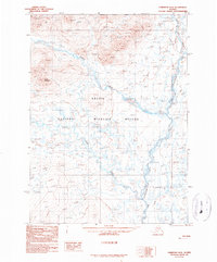
1990 · Christian D-5
USGS Topo · 1:63,360
1990 · Christian B-4
USGS Topo · 1:63,360