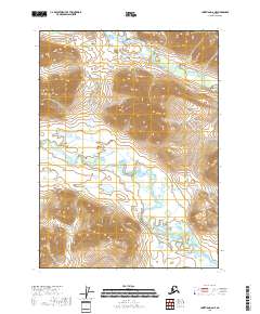
2018 Map of Christian D-6 NE
USGS Topo · Published 2018About this map
The Keche Mountains dominate the northwestern reaches of this 2018 survey, their peaks rising sharply above the complex hydrology of the Yukon-Koyukuk Borough. In this interior Alaskan landscape, the Wind River carves a meandering course southward, fed by a network of seasonal drainages and glacial ponds that pocket the valley floor. To the north, the headwaters of Smoke Creek transition from steep-walled ravines into the high tundra. The drainage patterns and topographic relief shown here reflect a wilderness shaped by permafrost and extreme seasonal shifts, where high-altitude ridges give way to expansive wetlands. This specific quadrangle preserves the undisturbed state of the terrain as it appeared in the early 21st century, prior to any significant infrastructure development in this portion of the borough.
Find a feature on this map
13 named features on this map. Tap any name to fly to it.
Don’t see what you’re looking for? This feature index may not catch every label — zoom into the map to look around manually.
Map Details
Editions of this 2018 Christian D-6 NE Map
This is the sole edition of this map. No revisions or reprints were ever made.
Other maps of this area

1951 · Christian
USGS Topo · 1:250,000

1951 · Arctic
USGS Topo · 1:250,000

1956 · Arctic
USGS Topo · 1:250,000

1956 · Christian
USGS Topo · 1:250,000
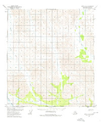
1972 · Arctic A-5
USGS Topo · 1:63,360
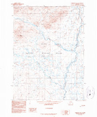
1990 · Christian D-5
USGS Topo · 1:63,360
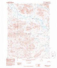
1990 · Christian D-6
USGS Topo · 1:63,360
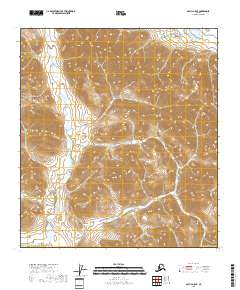
2018 · Arctic A-5 SE
USGS Topo · 1:25,000
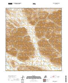
2018 · Arctic A-5 SW
USGS Topo · 1:25,000
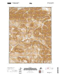
2018 · Christian D-6 SW
USGS Topo · 1:25,000