
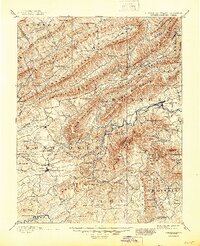
1890 Map of Christiansburg
USGS Topo · Published 1890About this map
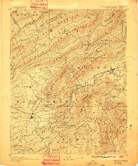
The Norfolk and Western Railroad snakes through the high mountain gaps of the Blue Ridge and Alleghenies in this 1890 record of the New River Valley and Roanoke region. The landscape is defined by the sharp parallel ridges of Catawba Mountain and Poor Mountain, which funnel settlement into narrow fertile valleys. This era shows the peak of the Virginia mineral springs resorts, with Montgomery White Sulphur Sprs., Yellow Sulphur Springs, and Craig Healing Springs serving as significant social and economic hubs. Industrial progress is evidenced by the Big Tunnel near Christiansburg and the concentrated growth in Salem along the Roanoke River. The map also captures numerous water-powered sites such as Mc Donalds Mill and Tice's Mill, alongside early post offices like Bradshaw P.O. that served the rural mountain gaps.
Find a feature on this map
158 named features on this map. Tap any name to fly to it.
Don’t see what you’re looking for? This feature index may not catch every label — zoom into the map to look around manually.
Map Details
Editions of this 1890 Christiansburg Map
10 editions found
1890 edition
16.55 x 19.92 inches
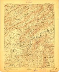
1891 edition
16.57 x 19.94 inches
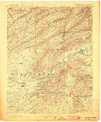
1895 edition
16.56 x 19.94 inches
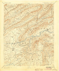
1900 edition
16.53 x 19.95 inches
1904 edition
16.5 x 19.9 inches
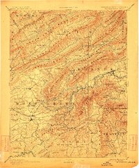
1912 edition
16.53 x 19.93 inches
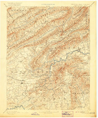
1920 edition
16.5 x 20 inches
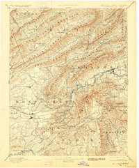
1928 edition
16.5 x 19.9 inches
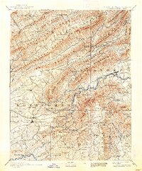
1938 edition
16.44 x 19.88 inches
1945 edition
16.96 x 20.86 inches
Other maps of this area

1887 · Hinton
USGS Topo · 1:125,000

1887 · Lewisburg
USGS Topo · 1:125,000

1889 · Hillsville
USGS Topo · 1:125,000

1890 · Roanoke
USGS Topo · 1:125,000

1890 · Dublin
USGS Topo · 1:125,000

1891 · Roanoke
USGS Topo · 1:125,000

1891 · Lewisburg
USGS Topo · 1:125,000

1891 · Dublin
USGS Topo · 1:125,000

1892 · Hillsville
USGS Topo · 1:125,000

1892 · Hinton
USGS Topo · 1:125,000