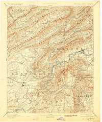
1890 Map of Christiansburg
USGS Topo · Published 1928About this map
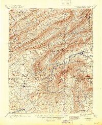
Montgomery White Sulphur Sprs. and Yellow Sulphur Springs highlight the prominence of resort culture in the late 19th-century Appalachian landscape. This 1880s survey, published later, documents the complex topography of the Ridge-and-Valley province where the Roanoke River and Little River carve through massive ranges like Potts Mountain and Poor Mountain. The Norfolk and Western Railroad serves as the primary industrial artery, notably passing through the Big Tunnel near Shawsville.
Find a feature on this map
144 named features on this map. Tap any name to fly to it.
Don’t see what you’re looking for? This feature index may not catch every label — zoom into the map to look around manually.
Map Details
Editions of this 1890 Christiansburg Map
10 editions found

1890 edition
16.55 x 19.92 inches
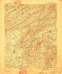
1891 edition
16.57 x 19.94 inches
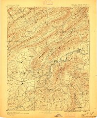
1895 edition
16.56 x 19.94 inches
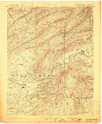
1900 edition
16.53 x 19.95 inches
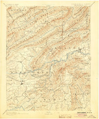
1904 edition
16.5 x 19.9 inches
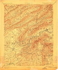
1912 edition
16.53 x 19.93 inches
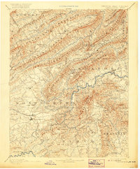
1920 edition
16.5 x 20 inches
1928 edition
16.5 x 19.9 inches
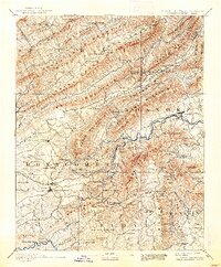
1938 edition
16.44 x 19.88 inches
1945 edition
16.96 x 20.86 inches
Other maps of this area

1887 · Hinton
USGS Topo · 1:125,000

1887 · Lewisburg
USGS Topo · 1:125,000

1889 · Hillsville
USGS Topo · 1:125,000

1890 · Roanoke
USGS Topo · 1:125,000

1890 · Dublin
USGS Topo · 1:125,000
1890 · Christiansburg
USGS Topo · 1:125,000

1891 · Roanoke
USGS Topo · 1:125,000

1891 · Lewisburg
USGS Topo · 1:125,000

1891 · Dublin
USGS Topo · 1:125,000

1892 · Hillsville
USGS Topo · 1:125,000