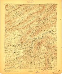
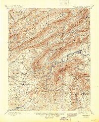
1890 Map of Christiansburg
USGS Topo · Published 1895About this map
Christiansburg and Salem anchor this late-19th-century landscape of the Blue Ridge and Allegheny mountains, where the Norfolk and Western Railroad traces a vital path through the ridge-and-valley terrain. This era is defined by the proliferation of mountain resorts and industrial infrastructure, visible in the cluster of thermal retreats like Montgomery White Sulphur Sprs., Yellow Sulphur Springs, and Craig Healing Springs. The engineering of the day is exemplified by the Big Tunnel near Shawsville, a critical passage for steam-era commerce.
Find a feature on this map
157 named features on this map. Tap any name to fly to it.
Don’t see what you’re looking for? This feature index may not catch every label — zoom into the map to look around manually.
Map Details
Editions of this 1890 Christiansburg Map
10 editions found

1890 edition
16.55 x 19.92 inches
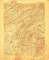
1891 edition
16.57 x 19.94 inches
1895 edition
16.56 x 19.94 inches
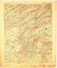
1900 edition
16.53 x 19.95 inches
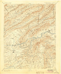
1904 edition
16.5 x 19.9 inches
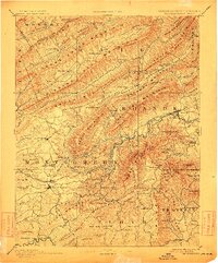
1912 edition
16.53 x 19.93 inches
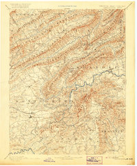
1920 edition
16.5 x 20 inches
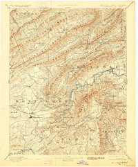
1928 edition
16.5 x 19.9 inches
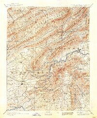
1938 edition
16.44 x 19.88 inches
1945 edition
16.96 x 20.86 inches
Other maps of this area

1887 · Hinton
USGS Topo · 1:125,000

1887 · Lewisburg
USGS Topo · 1:125,000

1889 · Hillsville
USGS Topo · 1:125,000

1890 · Roanoke
USGS Topo · 1:125,000

1890 · Dublin
USGS Topo · 1:125,000
1890 · Christiansburg
USGS Topo · 1:125,000

1891 · Roanoke
USGS Topo · 1:125,000

1891 · Lewisburg
USGS Topo · 1:125,000

1891 · Dublin
USGS Topo · 1:125,000

1892 · Hillsville
USGS Topo · 1:125,000