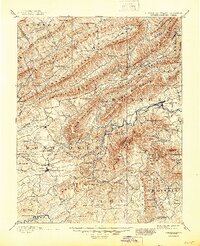
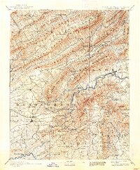
1890 Map of Christiansburg
USGS Topo · Published 1945About this map
Yellow Sulphur Springs and Montgomery White Sulphur Sprs. define the resort character of this region during the late 19th century, drawing visitors to the mountains of Montgomery and Roanoke counties. The landscape is a series of massive parallel ridges including Johns Creek Mountain and Sinking Creek Mountain, which directed early transit through gaps like McAfee Gap and Beckner Gap. Industrial and agricultural life centered on the Norfolk and Western RR, which connects the county seat at Christiansburg to the growing rail hub of Salem.
Find a feature on this map
133 named features on this map. Tap any name to fly to it.
Don’t see what you’re looking for? This feature index may not catch every label — zoom into the map to look around manually.
Map Details
Editions of this 1890 Christiansburg Map
10 editions found

1890 edition
16.55 x 19.92 inches
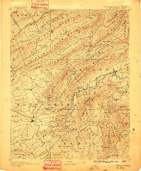
1891 edition
16.57 x 19.94 inches
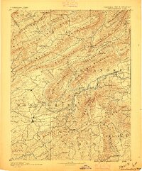
1895 edition
16.56 x 19.94 inches
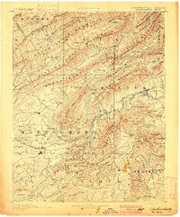
1900 edition
16.53 x 19.95 inches
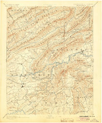
1904 edition
16.5 x 19.9 inches
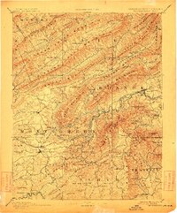
1912 edition
16.53 x 19.93 inches
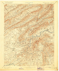
1920 edition
16.5 x 20 inches
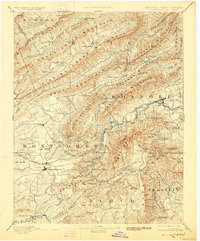
1928 edition
16.5 x 19.9 inches
1938 edition
16.44 x 19.88 inches
1945 edition
16.96 x 20.86 inches
Other maps of this area

1887 · Hinton
USGS Topo · 1:125,000

1887 · Lewisburg
USGS Topo · 1:125,000

1889 · Hillsville
USGS Topo · 1:125,000

1890 · Roanoke
USGS Topo · 1:125,000

1890 · Dublin
USGS Topo · 1:125,000
1890 · Christiansburg
USGS Topo · 1:125,000

1891 · Roanoke
USGS Topo · 1:125,000

1891 · Lewisburg
USGS Topo · 1:125,000

1891 · Dublin
USGS Topo · 1:125,000

1892 · Hillsville
USGS Topo · 1:125,000