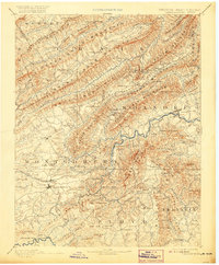
1890 Map of Christiansburg
USGS Topo · Published 1920About this map
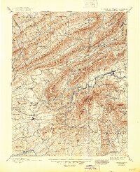
Christiansburg and the surrounding Blue Ridge highlands are captured here during a period of transition as the Norfolk and Western Railroad reshaped the mountain economy. The landscape is defined by its deep therapeutic mineral springs, including Montgomery White Sulphur Springs and Yellow Sulphur Springs, which served as major destinations during this era. The engineering of the Big Tunnel and the placement of stops like Vicar's Switch illustrate the heavy reliance on rail transport to navigate the steep ridges of Catawba Mountain and Brush Mountain. Numerous family-run operations, such as Mc Donald's Mill and Tice's Mill, dot the valleys of the Roanoke River and its forks. This survey provides a precise record of the Virginia-West Virginia boundary line as it follows the high crest of Potts Mountain through what was then a network of isolated rural post offices like Bradshaw P.O. and Dillons Mill P.O.
Find a feature on this map
122 named features on this map. Tap any name to fly to it.
Don’t see what you’re looking for? This feature index may not catch every label — zoom into the map to look around manually.
Map Details
Editions of this 1890 Christiansburg Map
10 editions found

1890 edition
16.55 x 19.92 inches
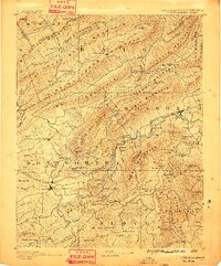
1891 edition
16.57 x 19.94 inches
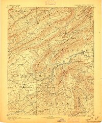
1895 edition
16.56 x 19.94 inches
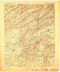
1900 edition
16.53 x 19.95 inches
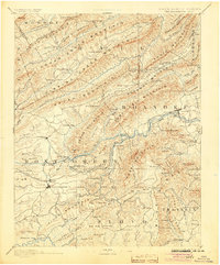
1904 edition
16.5 x 19.9 inches
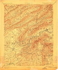
1912 edition
16.53 x 19.93 inches
1920 edition
16.5 x 20 inches
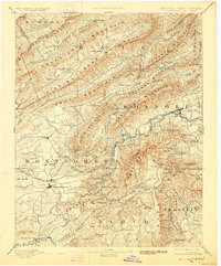
1928 edition
16.5 x 19.9 inches
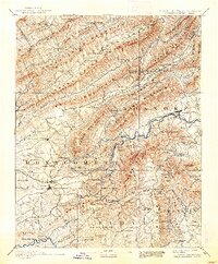
1938 edition
16.44 x 19.88 inches
1945 edition
16.96 x 20.86 inches
Other maps of this area

1887 · Hinton
USGS Topo · 1:125,000

1887 · Lewisburg
USGS Topo · 1:125,000

1889 · Hillsville
USGS Topo · 1:125,000

1890 · Roanoke
USGS Topo · 1:125,000

1890 · Dublin
USGS Topo · 1:125,000
1890 · Christiansburg
USGS Topo · 1:125,000

1891 · Roanoke
USGS Topo · 1:125,000

1891 · Lewisburg
USGS Topo · 1:125,000

1891 · Dublin
USGS Topo · 1:125,000

1892 · Hillsville
USGS Topo · 1:125,000