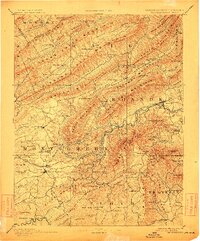
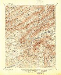
1890 Map of Christiansburg
USGS Topo · Published 1912About this map
Christiansburg and Blacksburg serve as the primary hubs in this late 19th-century survey of the Blue Ridge and Allegheny highlands. The region's identity is shaped by its mineral waters, evidenced by well-established resorts like Montgomery White Sulphur Sprs., Yellow Sulphur Springs, and Craig Healing Springs. The landscape is a series of massive parallel ridges, including Sinking Creek Mountain and Catawba Mountain, which dictated the early paths of industry and travel.
Find a feature on this map
135 named features on this map. Tap any name to fly to it.
Don’t see what you’re looking for? This feature index may not catch every label — zoom into the map to look around manually.
Map Details
Editions of this 1890 Christiansburg Map
10 editions found

1890 edition
16.55 x 19.92 inches
1891 edition
16.57 x 19.94 inches
1895 edition
16.56 x 19.94 inches
1900 edition
16.53 x 19.95 inches
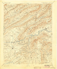
1904 edition
16.5 x 19.9 inches
1912 edition
16.53 x 19.93 inches
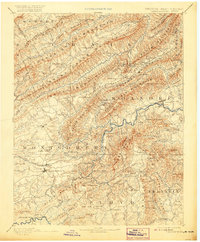
1920 edition
16.5 x 20 inches
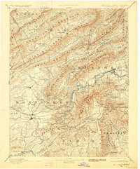
1928 edition
16.5 x 19.9 inches
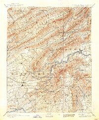
1938 edition
16.44 x 19.88 inches
1945 edition
16.96 x 20.86 inches
Other maps of this area

1887 · Hinton
USGS Topo · 1:125,000

1887 · Lewisburg
USGS Topo · 1:125,000

1889 · Hillsville
USGS Topo · 1:125,000

1890 · Roanoke
USGS Topo · 1:125,000

1890 · Dublin
USGS Topo · 1:125,000
1890 · Christiansburg
USGS Topo · 1:125,000

1891 · Roanoke
USGS Topo · 1:125,000

1891 · Lewisburg
USGS Topo · 1:125,000

1891 · Dublin
USGS Topo · 1:125,000

1892 · Hillsville
USGS Topo · 1:125,000