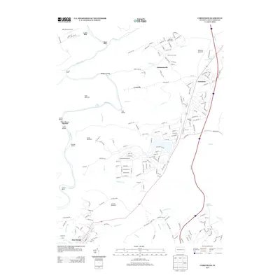
2013 Map of Christmans
USGS Topo · Published 2013About this map
Jim Thorpe serves as the focal point in this 2013 survey, positioned along the sharp bends of the Lehigh River where the terrain descends into the Lehigh Gorge. The landscape is defined by the steep elevation changes of Pocono Mountain and Bald Mountain, creating a natural corridor for the river and the Rockport Tunnel to the north. Settlement patterns are clustered around small crossroads and residential pockets like Christmans, Unionville, and Christmansville, often situated near the numerous waterways that drain the plateau, such as Stony Cr and Drakes Creek.
Find a feature on this map
185 named features on this map. Tap any name to fly to it.
Don’t see what you’re looking for? This feature index may not catch every label — zoom into the map to look around manually.
Map Details
Editions of this 2013 Christmans Map
This is the sole edition of this map. No revisions or reprints were ever made.
Other maps of this area

1889 · Hazleton
USGS Topo · 1:62,500

1891 · Wilkesbarre
USGS Topo · 1:62,500

1891 · Hazleton
USGS Topo · 1:62,500

1893 · Hazleton
USGS Topo · 1:62,500

1894 · Wilkesbarre
USGS Topo · 1:62,500

1922 · Mauch Chunk
USGS Topo · 1:62,500

1922 · Stoddartsville
USGS Topo · 1:62,500

1924 · Stoddartsville
USGS Topo · 1:62,500

1924 · Mauch Chunk
USGS Topo · 1:62,500

1943 · Scranton
USGS Topo · 1:125,000
Featured Places
- Jim Thorpe, PA
- Kidder Township, PA
- CP Independence, Lehigh Township
- Drakes Creek, Penn Forest Township
- Christmans, Penn Forest Township